What is recorded here
Situated in level pasture. Depicted as a small circular feature on both editions of the OS 6-inch map. Approx. circular, slightly raised area (max. dim. 8m; H 0.45m). Four stones at SE and S and a single stone at NW may be the last remnants of a kerb. No fosse.
Compiled by: Patrick F. O'Donovan
Date of upload: 19 January 2011
A Neolithic burial mound, likely dating to the Early to Middle Bronze Age, based on its form and the presence of standing stones. Its low profile and scattered stones suggest partial survival of a once more substantial funerary monument, typical of early megalithic traditions in the region.
The monument record does not grant public access. Check the route and ask the landowner before entering private land.
- What survives
- Recorded monument
Places near here
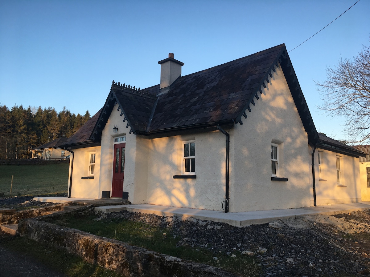 Enclosure in Bunnafedia,carrowconorEnclosure · 160 yd
 IndicatedFairy fort / earthen ringfort · 176 yd
 Giant's GraveArchaeological place · 1214 yd
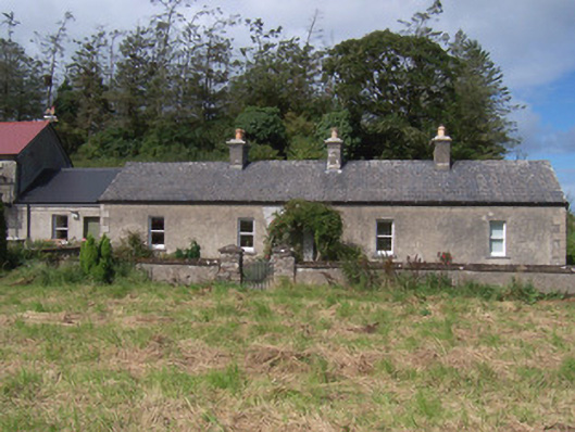 The Swallow Loftchurch/chapel · 1350 yd
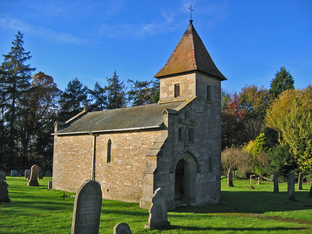 R. C. Chapel in ruinsChurch · 1376 yd
 Bawn in Longford DemesneBawn · 1486 yd
 Valley WoodForest · 1.0 mi
 Pigeonpark WoodForest · 1.1 mi
 CastleCastle, ringwork · 1.5 mi
 Lahanacappul IslandIslet · 1.8 mi
 Ballinlig PointHeadland · 2.0 mi
 Portavaud PointHeadland · 2.1 mi