What is recorded here
The official Northern Ireland record identifies this as MOUND. Recorded period: UNCERTAIN. The official map point was placed at the centre of the recorded archaeological site from the source map reference.
The monument record does not grant public access. Check the route and ask the landowner before entering private land.
- What survives
- Recorded monument
Places near here
 ENCLOSURE in Ballykeel EdenagonnellENCLOSURE · 1.1 mi
 Masonic HallHall · 1.2 mi
 Harty HouseHouse · 1.2 mi
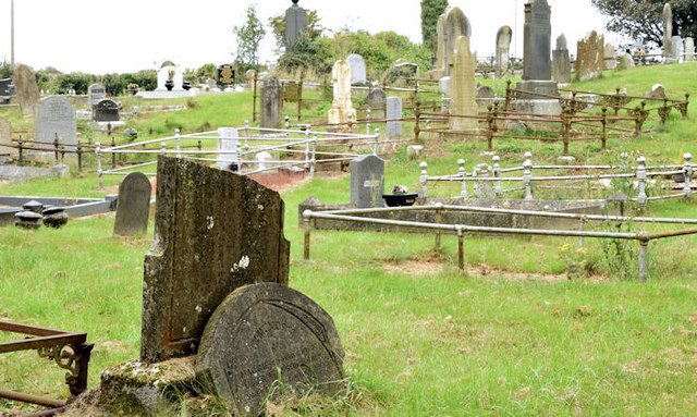 CHURCH & GRAVEYARD in BlarisCHURCH & GRAVEYARD · 1.2 mi
 Hillsborough War MemorialMemorial · 1.3 mi
 Hillsborough FortVisitor information · 1.4 mi
 EARLY MEDIEVAL, MEDIEVAL & POST-MEDIEVAL CHURCH SITE: DRUMBOO; ST. MALACIAS OF CRUMLIN in Small Park (hillsborough)EARLY MEDIEVAL, MEDIEVAL & POST-MEDIEVAL CHURCH SITE: DRUMBOO; ST. MALACIAS OF CRUMLIN · 1.4 mi
 Hillsborough Forest ParkForest · 1.4 mi
 Lake TrailWalking route · 1.5 mi
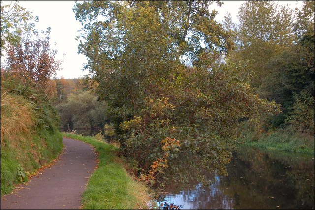 Lagan TowpathWalking route · 1.8 mi
 Welcome to Lagan Valley Regional ParkVisitor information · 2.4 mi
 Linen Centre and MuseumMuseum · 2.4 mi