What is recorded here
In level pasture, to E of deep open land drain. Not visible at ground level. Depicted on latest edition OS 6-inch map as small circular mound (diam. less than 10m).
Compiled by: Jean Farrelly
Date of upload: 26 August 2011
The monument record does not grant public access. Check the route and ask the landowner before entering private land.
- What survives
- Recorded monument
Places near here
 Enclosure in Moanreagh (clonpet Par.)Enclosure · 345 yd
 Bawn in Breansha MoreBawn · 707 yd
 Breansha Castle ruinsCastle · 714 yd
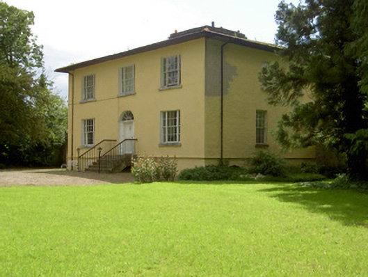 Brookville Househouse · 1079 yd
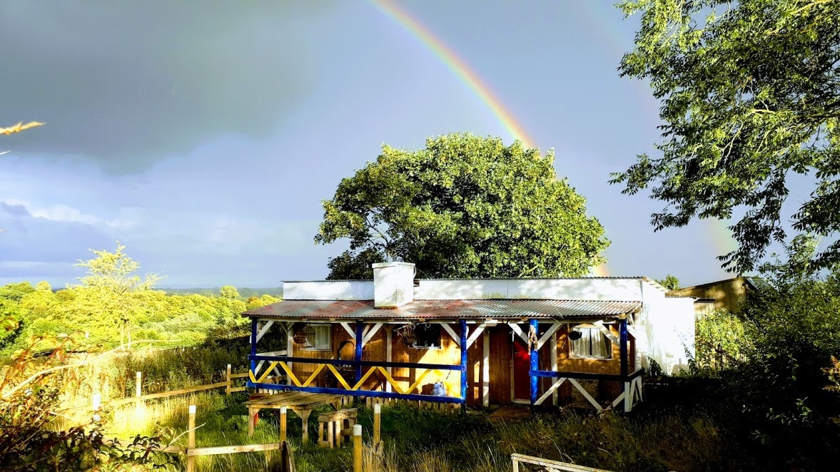 Enclosure in Ballyglass Lower (clonpet Par.),ballyglass Lower (cordangan Par.)Enclosure · 1158 yd
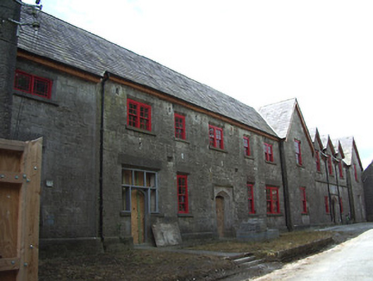 Tipperary Union Workhouseworkhouse · 1.0 mi
 The Maid of ErinMemorial · 1.3 mi
 The RockViewpoint · 1.3 mi
 It's a long way to TippereryHeritage attraction · 1.4 mi
 Glen of AherlowViewpoint · 1.8 mi
 Christ the KingViewpoint · 1.8 mi
 I.R.A. 3rd. Tipperary Brigade MemorialMemorial · 1.9 mi