What is recorded here
Situated on the top of a small, steep hillock, in gently undulating and hilly pasture. Ringfort (WM020-016----) lies c. 145m to NW. Annotated 'Fort' on the 1837 OS Fair Plan map where it is depicted as a small, circular earthwork. Levelled monument described in 1970 as no surface remains visible. Monument is not visible today on Digital Globe aerial photography.
Compiled by: Alison McQueen, Vera Rahilly and Caimin O’Brien
Date of upload: 06 June 2019
The monument record does not grant public access. Check the route and ask the landowner before entering private land.
- What survives
- Recorded monument
Places near here
 Reynella Cottageoutbuilding · 689 yd
 Hut site in Balrath EastHut site · 874 yd
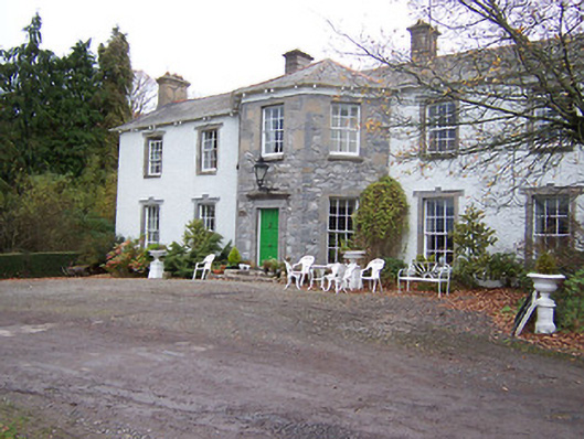 Reynella Housecountry house · 984 yd
 GinkgoGinkgo · 1071 yd
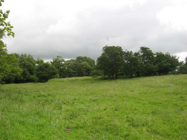 Fairy fort / earthen ringfort in ReynellaFairy fort / earthen ringfort · 1237 yd
 CastleCastle, motte · 1.0 mi
 DardistownCastle, unclassified · 1.2 mi
 ScregganWood · 5.7 mi
 Kells HillMountain / peak · 8.9 mi
 Seafin HillMountain / peak · 9.4 mi
 Croppies' GraveMemorial · 11 mi
 IndicatedFairy fort / earthen ringfort · 1307 yd