What is recorded here
That is the only mound in Ballyvelaghan, a rectangular ridge of sand and gravel twenty-one metres long, two-point-two metres wide and one-point-eight metres high, marked on the 1915 Ordnance Survey map at the north-east angle of a field. It is not ancient at all: the story goes that workmen built Villa Marina Constabulary Barracks about eighty metres north and dumped the leftover material there. The real oddity is that an ordinary construction waste pile became the kind of place people point to as a mound, as if being visible and separate were enough to make history.
Marked only on the 1915 ed. of the OS 6-inch map as a hachured feature at the NE angle of a rectangular field. It is situated on a level landscape. This is a rectangular mound of sand and gravel (dims 21m N-S; 2.2m E-W; H 1.8m) that is known locally to be the remainder of material brought in for the construction of the Villa Marina Constabulary Barracks c. 80m to the N.
Compiled by: Michael Moore
Date of upload: 15 April, 2013
The monument record does not grant public access. Check the route and ask the landowner before entering private land.
- What survives
- Recorded monument
Places near here
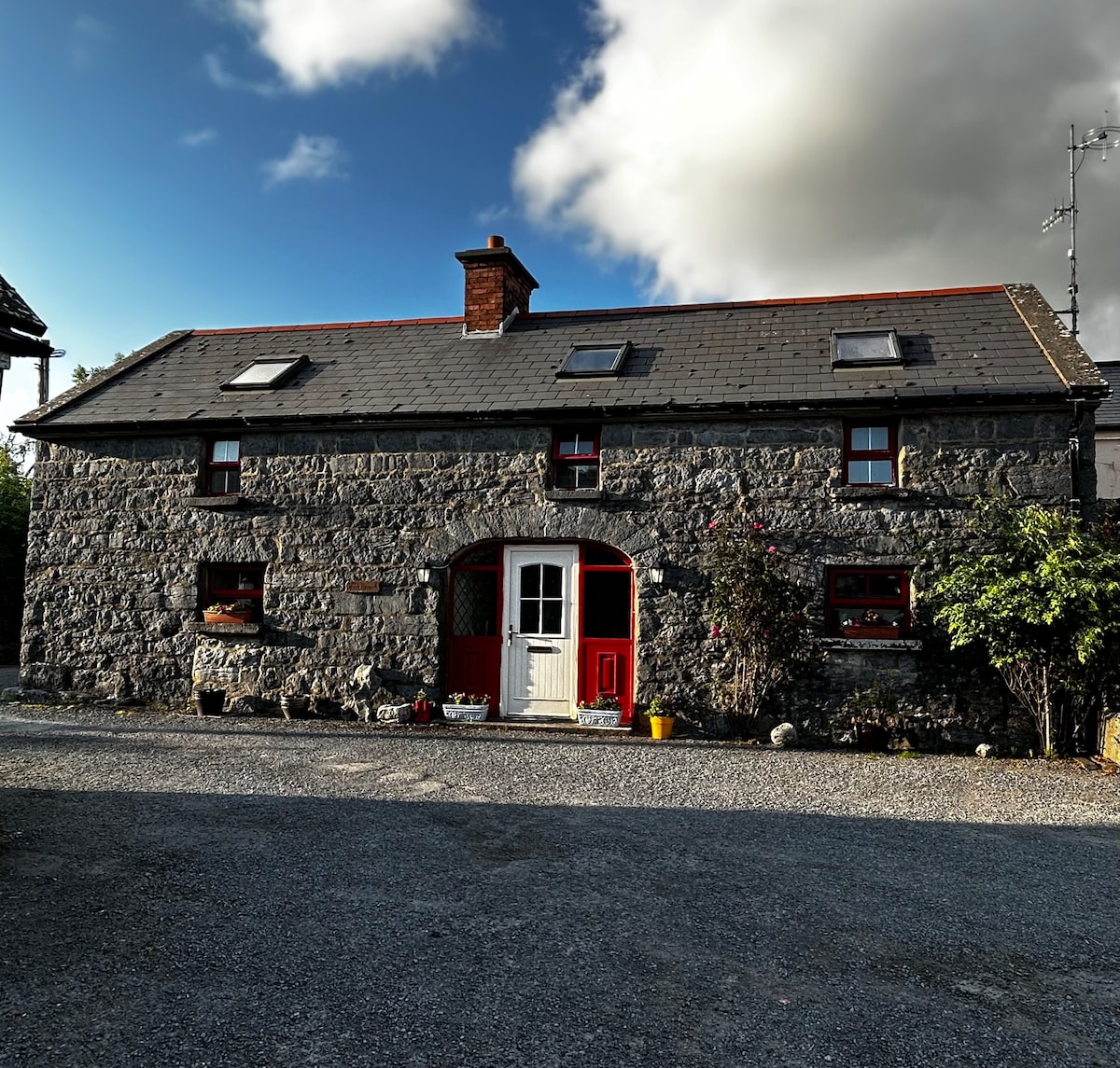 Enclosure in BallyvelaghanEnclosure · 361 yd
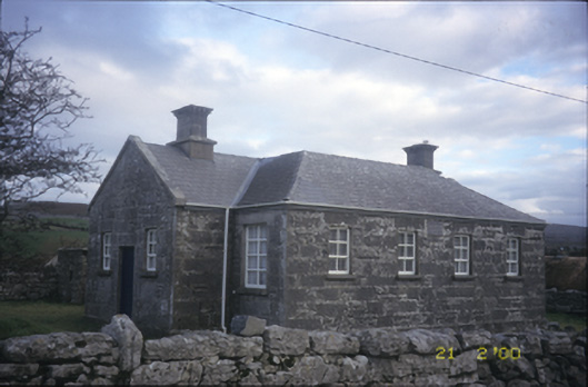 Ballyvelaghan National Schoolschool · 444 yd
 The Russell GalleryGallery · 549 yd
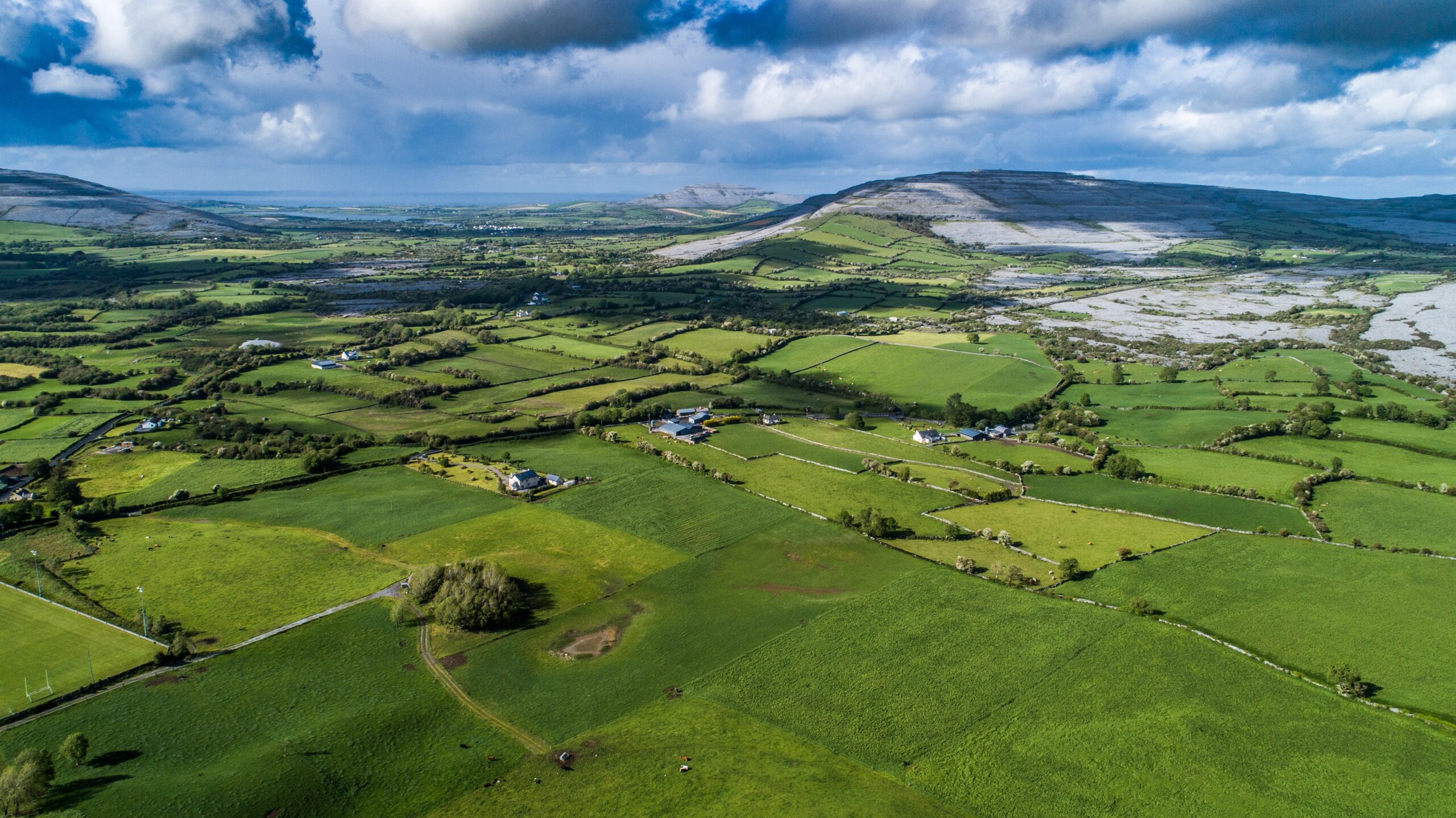 Parkmore FortFairy fort / ringfort · 843 yd
 Church (in Ruins)Church · 889 yd
 Muckinish PointHeadland · 1752 yd
 Saint Patrick's ChurchHeritage attraction · 1.2 mi
 Shanmuckinish CastleCastle, tower house · 1.5 mi
_-_geograph.org.uk_-_5527885.jpg?width=1280) IndicatedBawn · 1.5 mi
IndicatedBawn · 1.5 mi Abbey HillMountain / peak · 1.6 mi
 Battle of Lough Raskabattle · 1.9 mi
 Corcomroe Abbey Geopark SiteVisitor information · 2.1 mi