What is recorded here
An oval mound (c. 53m NW-SE; c. 35m NE-SW), much quarried out, leaving high ‘banks’ at N, W and S. There is a slight external fosse with a flat base at N and W. Referred to in the OS Name Book (Ballynure parish (1838-40), book 132, 42) as ‘Dhoone Moat’.
Compiled by: Mary Tunney
Date of upload: 8 November 2012
The monument record does not grant public access. Check the route and ask the landowner before entering private land.
- What survives
- Recorded monument
Places near here
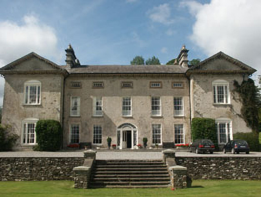 Ballynure Housecountry house · 538 yd
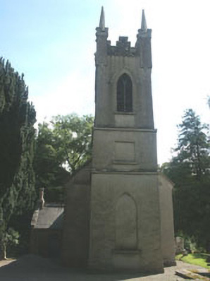 Church of the Ascension (Ballynure)church/chapel · 801 yd
 Grangecon Castle (in ruins)Castle, tower house · 1055 yd
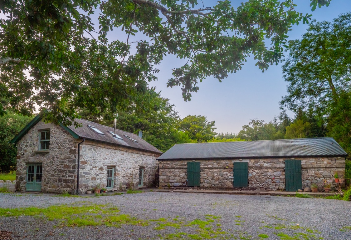 Enclosure in Knocknamuck UpperEnclosure · 1212 yd
 Enclosure in BallynureEnclosure · 1289 yd
 Spratstown Fox CovertWood · 1.2 mi
 Colbinstown Castle (in Ruins)Castle, unclassified · 1.6 mi
 CrookanurnWood · 2.5 mi
 Tinoran HillMountain / peak · 3.6 mi
 Burtown House and GardensHeritage attraction · 4.6 mi
 Battle of Kilrushbattle · 5.6 mi
 Gorden Bennet Race memorialMemorial · 6.5 mi