What is recorded here
'On top of a rise of limestone outcrop in an area which has been largely reclaimed, and neatly bisected by an N-S field boundary is a complex of low banks, mounds and hollows......a sub-circular mound, 8.00m N-S by 10.0m E-W, with a circular central depression 3.00m in diameter. The average height of the mound is 0.35m, the centre of the depression being 0.25m below the crest of the mound. Several other depressions occur on this rise, and other banks were noted on aerial photographs but could not be accurately traced on the ground. Though grass covered, the mound is mainly composed of stone.'
Compiled by Michael Connolly for the Archaeological Survey of Ireland as part of a survey of the Lee Valley area in 1996-97.
Date of upload: 26 April 2012
The monument record does not grant public access. Check the route and ask the landowner before entering private land.
- What survives
- Recorded monument
Places near here
 Field system in Ballymacthomas,coolnadeadField system · 1 yd
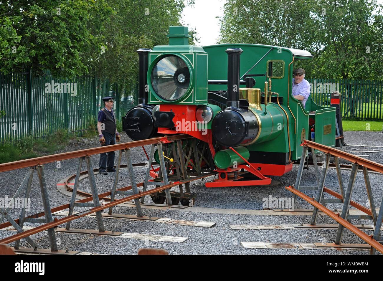 Field system in BallymacthomasField system · 485 yd
 Bealagrellagh CastleCastle · 951 yd
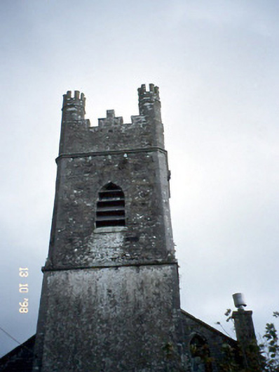 Ballymacelligott Churchchurch/chapel · 1252 yd
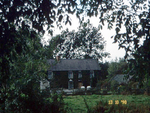 farm housefarm house · 1265 yd
 IndicatedCastle, unclassified · 1375 yd
 Common AlderCommon Alder · 1.1 mi
 PoulatouirtCave · 1.4 mi
 Poulclashcannon (blocked)Cave · 1.5 mi
 Monument WoodWood · 1.6 mi
 Civil War MemorialMemorial · 3.5 mi
 Crimea Cannon and War MemorialMonument · 4.0 mi