What is recorded here
Rising out of the floodplain of the River Shannon with the riverbank c. 30m to the S. This is a grass-covered, circular, rounded earthen mound (diam. 45m E-W; 43.5m N-S; H 1.8m at W-N to 2.2m at S) which might be entirely natural.
The above description is derived from 'The Archaeological Inventory of County Leitrim' compiled by Michael J. Moore (Dublin: Stationery Office, 2003). In certain instances the entries have been revised and updated in the light of recent research.
Compiled by: Michael Moore
Date of upload: 23 September 2008
Amended: 6 December, 2019
The monument record does not grant public access. Check the route and ask the landowner before entering private land.
- What survives
- Recorded monument
Places near here
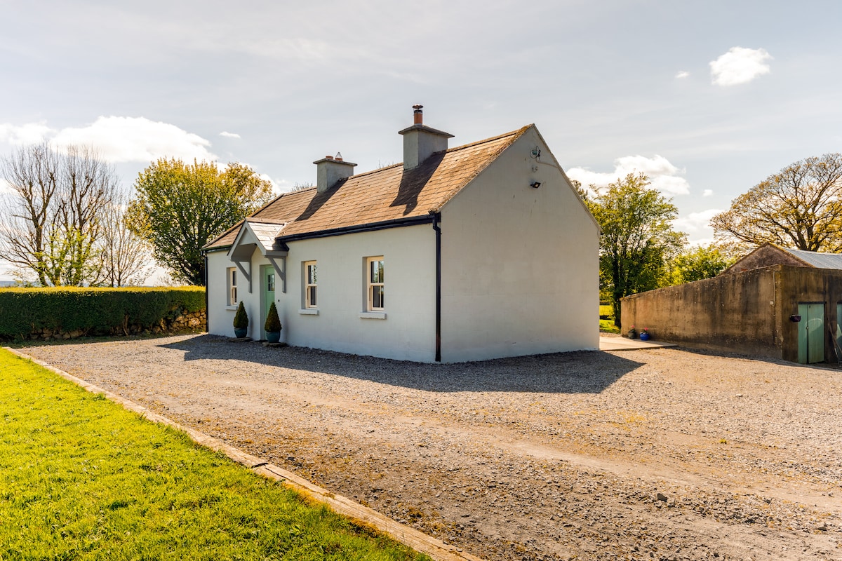 Enclosure in CloonteemEnclosure · 557 yd
 Church (in Ruins)Church · 559 yd
 Tom Dunphy MemorialMemorial · 561 yd
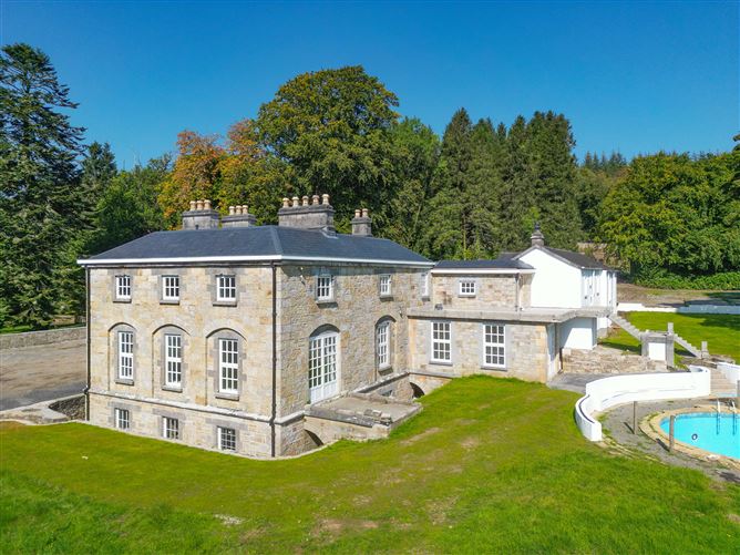 Ecclesiastical enclosure in AnnaduffEcclesiastical enclosure · 581 yd
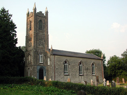 Saint Anne's Church (Annaduff)church/chapel · 590 yd
 Wildlife AreaNature reserve · 835 yd
 Declaration of IndependenceMemorial · 1017 yd
 Site of Dangan CastleCastle, unclassified · 2.5 mi
 CastlecarraCastle, unclassified · 3.6 mi
 InishmoylinIslet · 3.7 mi
 Coarse IslandForest · 3.9 mi
 Dockery's IslandIslet · 4.1 mi