
What is recorded here
Named as 'moat' on the 1837 OS 6-inch map. Shown as an oval -shaped mound (diam. c. 25m). The site is on the crest of a north facing field under tillage. Appears to be differential crop growth at site on aerial photographs (Bing). Not visible at ground level (Healy 1975, 19).
Compiled by: Geraldine Stout
Updated by: Christine Baker
Date of upload: 28 November 2014
The monument record does not grant public access. Check the route and ask the landowner before entering private land.
- What survives
- Recorded monument
Places near here
 Ring-ditch in Jordanstown (balrothery West By.)Ring-ditch · 594 yd
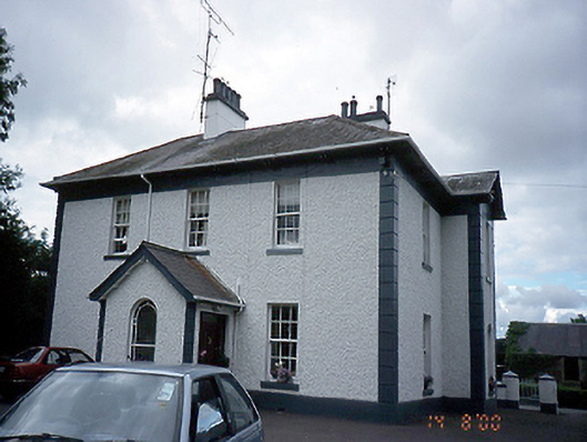 Jordanstown Housefarm house · 611 yd
 Church (in Ruins)Church · 1173 yd
 Enclosure in Jordanstown (balrothery West By.)Enclosure · 1179 yd
 Wooly Ward's FarmHeritage attraction · 1723 yd
 Cornstown HouseHeritage attraction · 1.3 mi
 St. John's WellSpring · 1.8 mi
 AshbourneMemorial · 2.2 mi
 CastleCastle, motte · 2.3 mi
 Bawn in KilleglandBawn · 2.3 mi
 Graveyard in KillosseryGraveyard · 2.9 mi
 Newtown HillMountain / peak · 3.9 mi
Other information
Photo: Credit not shown in the picture search · Rights wording not checked; contact us if this picture should be removed