What is recorded here
Motte and bailey earthworks stand inside modern Town Parks, Comber, County Down. Medieval hands shaped the soil before roads, shops or park benches existed. The mound still marks that older boundary, waiting for footsteps and imagination.
The official Northern Ireland record identifies this as MOTTE. Recorded period: MEDIEVAL. Recorded protection: Scheduled. The official map point was placed at the centre of the recorded archaeological site from the source map reference.
The monument record does not grant public access. Check the route and ask the landowner before entering private land.
- What survives
- Recorded monument
Places near here
 AP CropmarkAP Cropmark, Possible circular enclosure · 415 yd
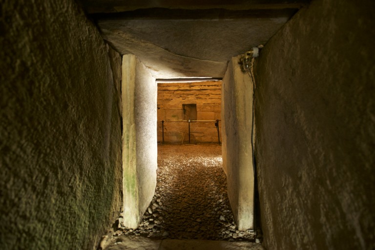 ENCLOSURE in CarnasureENCLOSURE · 726 yd
_-_geograph.org.uk_-_1770599.jpg?width=1280) Andrews Memorial HallSchool · 812 yd
Andrews Memorial HallSchool · 812 yd First Comber Presbyterian ChurchChurch · 1171 yd
 FORTIFICATION (site of): MOUNT ALEXANDER CASTLE in Mount AlexanderFORTIFICATION (site of): MOUNT ALEXANDER CASTLE · 1569 yd
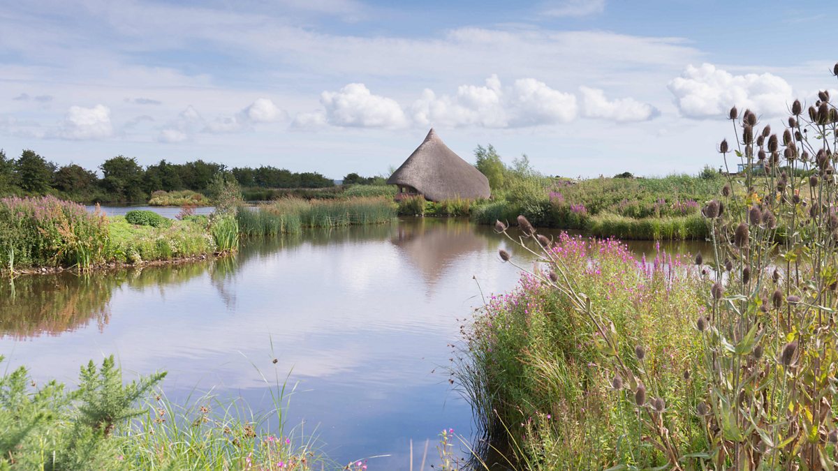 BAWN: CASTLE ESPIE in Castle EspieBAWN: CASTLE ESPIE · 2.5 mi
 Rough IslandIslet · 3.0 mi
 Castle Espie Wetland CentreNature reserve · 3.0 mi
 Scrabo HillMountain / peak · 3.1 mi
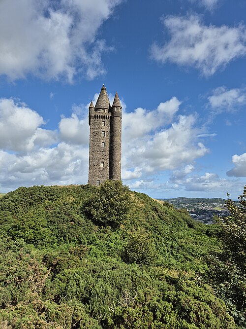 Scrabo TowerHeritage attraction · 3.1 mi
 Comber GreenwayWalking route · 3.5 mi
 Braniel HillMountain / peak · 4.0 mi