What is recorded here
No visible mound remains in Killyglen, County Antrim, yet the medieval boundary still circles the forgotten height where a tower or keeper may have watched the land. The name preserves the shape after earth, fire and time removed its edges. What is missing is not nothing; it is the part the landscape stopped repeating.
The official Northern Ireland record identifies this as MOTTE. Recorded period: MEDIEVAL. Recorded protection: Scheduled. The official map point was placed at the centre of the recorded archaeological site from the source map reference.
The monument record does not grant public access. Check the route and ask the landowner before entering private land.
- What survives
- Recorded monument
Places near here
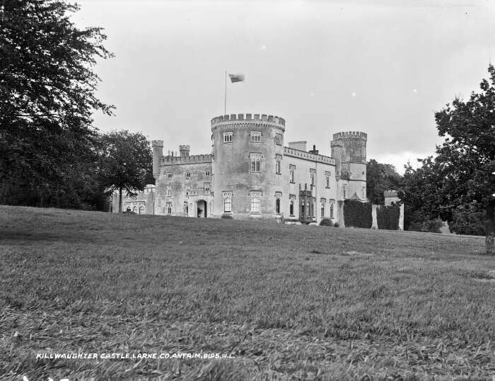 TOWER-HOUSE & BAWN: KILWAUGHTER CASTLE in DemesneTOWER-HOUSE & BAWN: KILWAUGHTER CASTLE · 1.5 mi
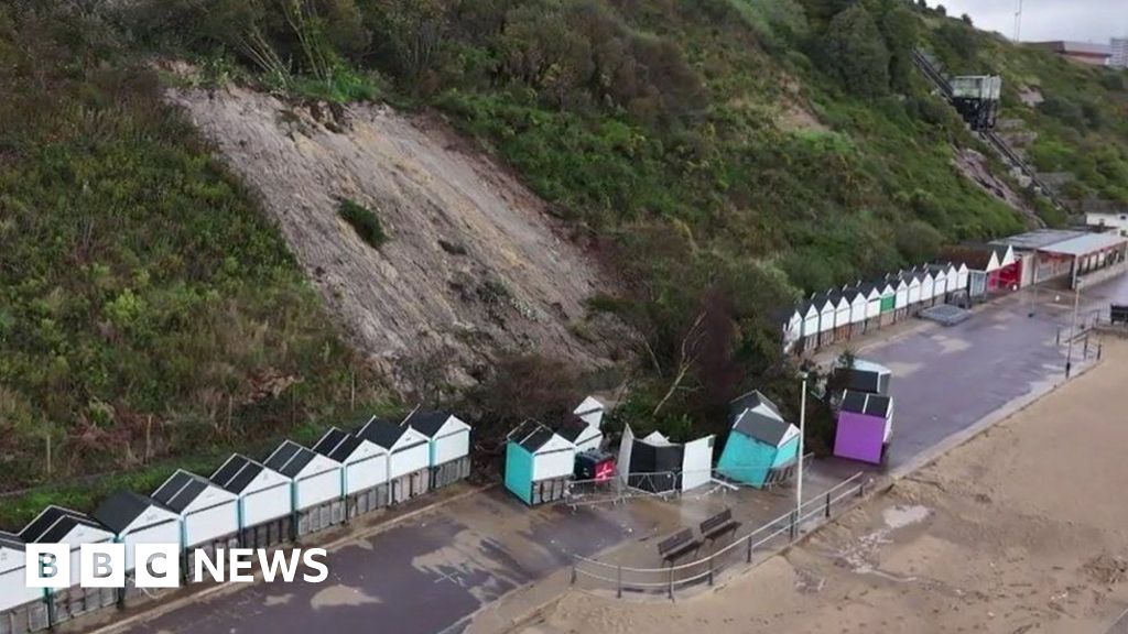 CLIFF-TOP ENCLOSURE; possibly PROMONTORY FORT in BallytoberCLIFF-TOP ENCLOSURE; possibly PROMONTORY FORT · 1.5 mi
 Kilwaughter CastleCastle · 1.5 mi
 TWO ENCLOSURES/ TREE RINGS in DemesneTWO ENCLOSURES/ TREE RINGS · 1.7 mi
 Larne War MemorialMemorial · 1.9 mi
 Ulster BankBank · 2.0 mi
.jpg?width=1280) Town HallTown hall · 2.0 mi
Town HallTown hall · 2.0 mi Garden TrailWalking route · 2.1 mi
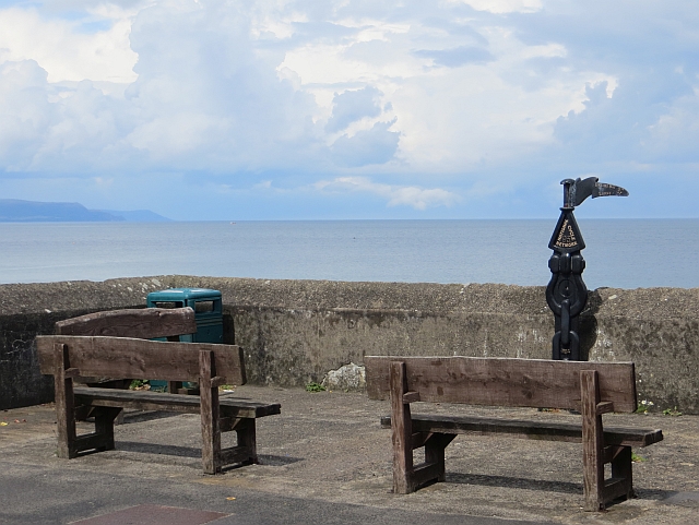 Millennium MilepostVisitor information · 2.6 mi
 Ballygally CastleHeritage attraction · 2.6 mi
 Ballygalley HeadCliff · 2.8 mi
 MV Princess Victoria MemorialMemorial · 2.9 mi