
What is recorded here
The official Northern Ireland record identifies this as a Grade B1 listed building. Recorded construction date: 1920 - 1939. Current recorded use: Bank.
The official record and map point do not grant access. Many historic buildings are privately owned; view them only from public ground unless the owner allows entry.
Places near here
.jpg?width=1280) Town HallTown hall · 32 yd
Town HallTown hall · 32 yd TOWER-HOUSE: OLDERFLEETE CASTLE in LarneTOWER-HOUSE: OLDERFLEETE CASTLE · 240 yd
 Larne War MemorialMemorial · 307 yd
 Methodist ChurchChurch · 643 yd
 TOWER-HOUSE: TCHEVET CASTLE (unlocated) in Curran AND Drumaliss; LarneTOWER-HOUSE: TCHEVET CASTLE (unlocated) · 1074 yd
 MV Princess Victoria MemorialMemorial · 1737 yd
 SQUARE ENCLOSURE? in BallylumfordSQUARE ENCLOSURE? · 1.3 mi
 A.P. SITEA.P. SITE, possible enclosure · 2.2 mi
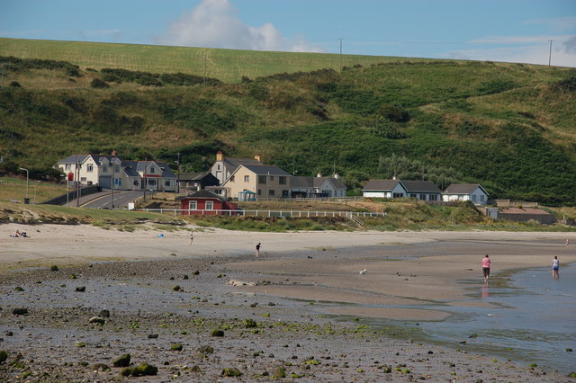 Browns bay walkBeach / strand · 2.3 mi
 Swan IslandIslet · 2.4 mi
 Garden TrailWalking route · 2.8 mi
 Ballygalley HeadCliff · 3.4 mi
Other information
Photo: Kenneth Allen · CC BY-SA 2.0