What is recorded here
In poor pasture, on a high ridge summit with panoramic views. A circular platform (diam. c. 25m; H 3.4m) with a flat top (8m E-W; 7.5m N-S) is enclosed at its base by a fosse (Wth 3.5m) and an external earthen bank (Wth 5m; int. H 0.45m; ext. H 0.6m). The top of the platform slopes down gently to E. There is a linear field boundary on top of the bank on the W arc.
The above description is derived from the published 'Archaeological Inventory of County Sligo' compiled by Ursula Egan, Elizabeth Byrne, Mary Sleeman with Sheila Ronan and Connie Murphy (Dublin Stationery Office, 2005).
Date of upload: 18 January 2008
Neolithic passage tomb, dating to approximately 3500–2500 BCE. Its location on a high ridge summit suggests ritual or ceremonial significance, possibly as a communal burial or gathering site.
The monument record does not grant public access. Check the route and ask the landowner before entering private land.
- What survives
- Recorded monument
Places near here
 Sweathouse in KillerrySweathouse · 566 yd
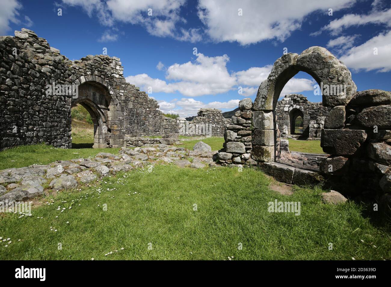 Doon FortCliff-edge fort · 957 yd
 MoteCastle, motte · 1510 yd
 Church (in Ruins)Church · 1565 yd
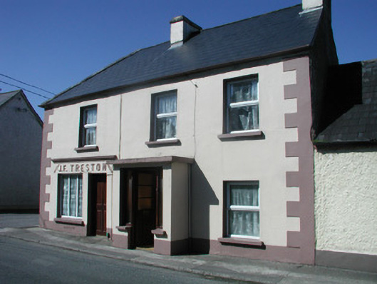 J.F. Trestonhouse · 1668 yd
 CastleCastle, unclassified · 1.1 mi
 SlishwoodWood · 1.7 mi
 Slishwood Island WestIslet · 2.4 mi
 Slishwood Island EastIslet · 2.4 mi
 Bunowen BayBay · 2.5 mi
 Giants GraveArchaeological place · 2.8 mi
 Parke's CastleHeritage attraction · 3.6 mi