What is recorded here
Map note: Find the recorded point for Mossy Well, a spring near Nether Cuttlehill, Aberdeenshire, Scotland. The name sounds lively; the map shows where the water is recorded.
From OpenStreetMap (© OpenStreetMap contributors) n533768319
Places near here
Photo credits
- Anne Burgess, Wikimedia Commons · CC BY-SA 2.0
- Maker not stated on source page, uk.pinterest.com
- Maker not stated on source page, www.tripadvisor.com.au
- Maker not stated on source page, morayspeyside.com
- Peter Wood, Wikimedia Commons · CC BY-SA 2.0
- Stanley Howe, Wikimedia Commons · CC BY-SA 2.0
- Maker not stated on source page, www.pinterest.com
- Steven Brown, Wikimedia Commons · CC BY-SA 2.0
 Little DaughEnclosure, Rig and Furrow (medieval) - (post Medieval) · 389 yd
 DaughCastle (possible), Chapel (possible), Farmhouse (post Medieval), Farmstead (post Medieval) · 451 yd
 Ruthven, Old Parish Church and Burial-groundBurial Ground (medieval), Church (medieval), Bell (mid 17th Century) (1643) · 1104 yd
 Auchanachie CastleLairds House (late 16th Century) (1594) · 1156 yd
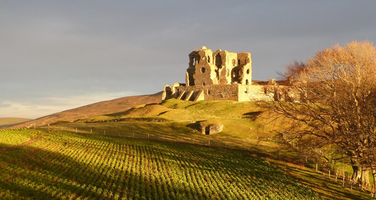 Auchanachie Castle DoocotDovecot · 1207 yd
 NethertonFarmhouse, Farmstead · 1270 yd
 Auchanachie CottagesCottage(s) · 1290 yd
 Ruthven, 'carol's Cairn'Cairn · 1298 yd
 LittlemillFarmstead · 1544 yd
 Balloch WoodForest · 1.5 mi
 Garromuir WoodWood · 1.7 mi
 Meikle Balloch HillMountain / peak · 2.2 mi
More waterfalls, wells and springs in Aberdeenshire · All of Aberdeenshire

What do you know about this place?Tap to add a comment or ask a question