
What is recorded here
Moodiesburn, Gartferry Road is a field drain in North Lanarkshire, Scotland.
Places near here
Photo credits
- Robert Murray, Wikimedia Commons · CC BY-SA 2.0
- Maker not stated on source page, commons.wikimedia.org
- Richard Webb, Wikimedia Commons · CC BY-SA 2.0
- G Laird, Wikimedia Commons · CC BY-SA 2.0
- Maker not stated on source page, www.pinterest.ru
- Stephen Sweeney, Wikimedia Commons · CC BY-SA 2.0
- Maker not stated on source page, www.countrylife.co.uk
- Maker not stated on source page, www.tripadvisor.com.au
- Maker not stated on source page, www.pinterest.com
 Auchengeich Colliery Disaster MemorialMemorial · 127 yd
 Moodiesburn, Glenmore Avenue, St Michael's Roman Catholic ChurchChurch (20th Century) · 451 yd
 Moodiesburn, Glen Avenue, GeneralHouse(s) · 631 yd
 Hill of ChrystonEnclosed Settlement (iron Age) · 922 yd
 Chryston, Main Street, Chryston Parish ChurchBurial Ground (post Medieval), Church (post Medieval), War Memorial (20th Century) · 1035 yd
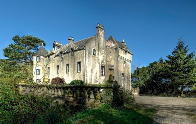
 Chryston, Bedlay CastleTower House (medieval) · 1122 yd
 Chryston, Main Street, Free ChurchChurch (19th Century) - (20th Century), Hall (20th Century) - (20th Century) · 1133 yd
 Bedlay Castle, Garden GatewayGate · 1158 yd
 Moodiesburn, Bedlay CemeteryCemetery (19th Century) · 1411 yd
 AvenueheadMountain / peak · 1.0 mi
 Arronhill PlantationWood · 1.7 mi
 Bluebell DellWood · 1.9 mi
More archaeology and monuments in North Lanarkshire · All of North Lanarkshire

What do you know about this place?Tap to add a comment or ask a question