What is recorded here
On SW-facing slope immediately N of the line of an old roadway. Poorly preserved, rectangular cairn (E-W 1.6m, H 0.9m) which appears to have had a stepped profile.
The above description is derived from the published 'Archaeological Inventory of County Galway Vol. I - West Galway'. Compiled by Paul Gosling (Dublin: Stationery Office, 1993).
Date of upload: 05 August 2010
The monument record does not grant public access. Check the route and ask the landowner before entering private land.
- What survives
- Recorded monument
Places near here
 Lisheenna-caheraghEnclosure · 156 yd
 Ebor Hallcountry house · 700 yd
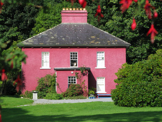 Carrick Lodgehouse · 1262 yd
 CaheratootherFairy fort / stone ringfort · 1488 yd
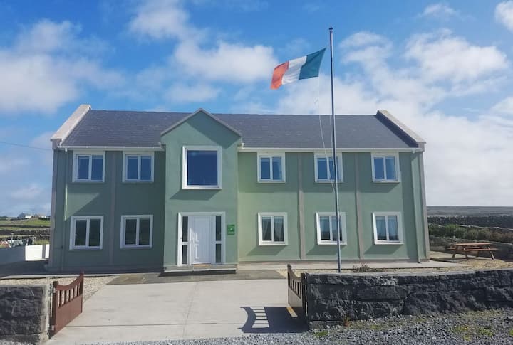 Inis TuíIslet · 1.4 mi
 Varley's islandIslet · 1.4 mi
 Coill na FaircheWood · 1.8 mi
 Binn ShléibheMountain / peak · 2.1 mi
 Ballindeonagh Castle (in ruins)Castle, unclassified · 2.2 mi
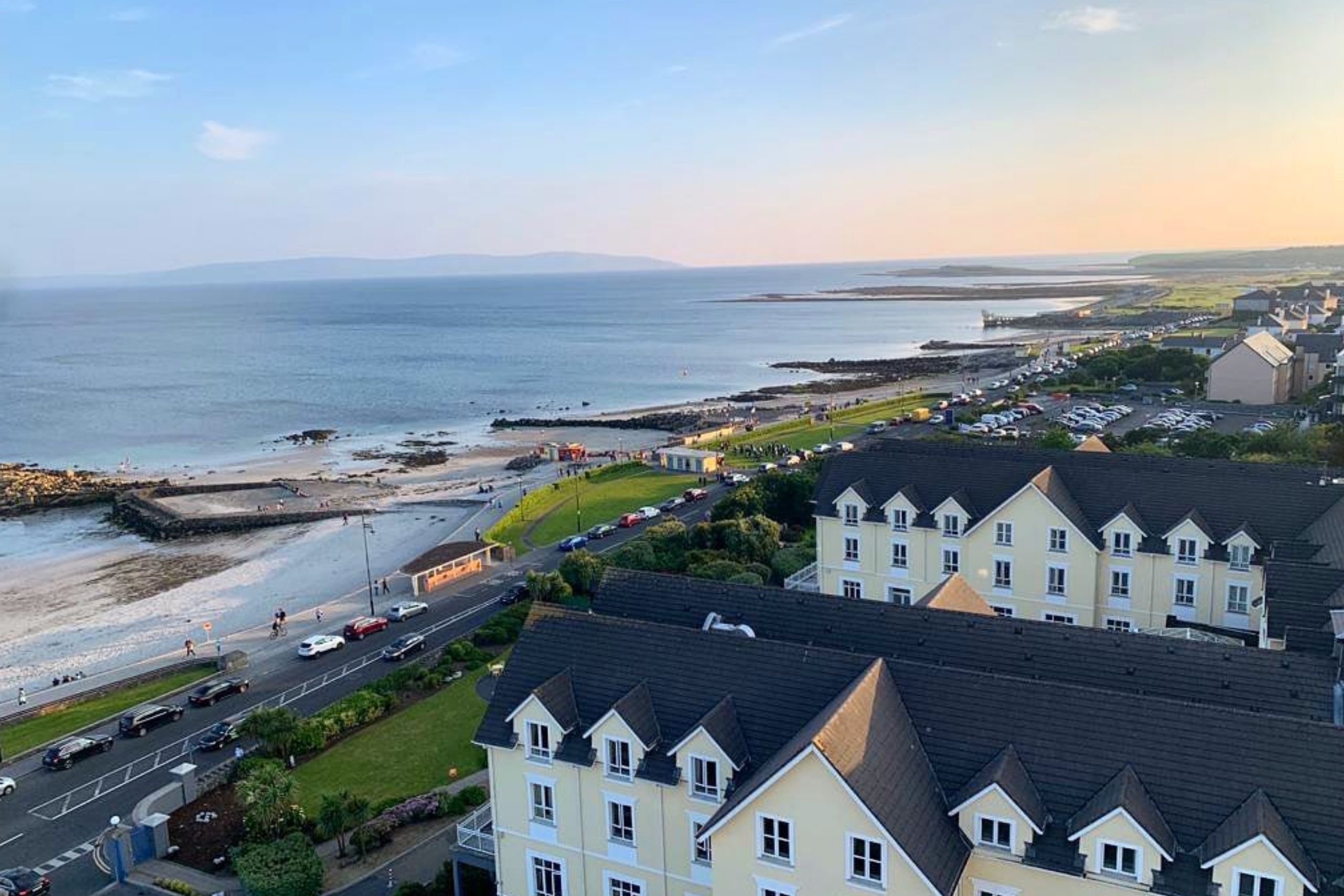 Golden BayBay · 2.4 mi
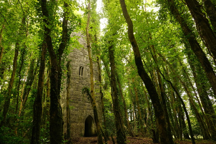 Ard na Gaoithe WoodsForest · 2.8 mi
 Castle (in Ruins)Castle, unclassified · 2.9 mi