What is recorded here
Beside a house on E side of road at Salrock and immediately SW of Salrock Church (GA010-008001-). Indicated on 1st ed. of OS 6-inch map as a small open circle. No visible surface trace survives. Five other possible wayside cairns (GA010-042----, GA010-043----, GA010-044----, GA010-045----)are known from the locality.
The above description is derived from the published 'Archaeological Inventory of County Galway Vol. I - West Galway'. Compiled by Paul Gosling (Dublin: Stationery Office, 1993).
Date of upload: 05 August 2010
The monument record does not grant public access. Check the route and ask the landowner before entering private land.
- What survives
- Recorded monument
Places near here
 Salrock Churchchurch/chapel · 98 yd
 Tobersalrock Holy WellHoly well · 187 yd
 Salrock Church (in ruins)Church · 203 yd
 Holy well in FoherHoly well · 1270 yd
 Glassilaun BeachBeach / strand · 1.4 mi
 BenchoonaMountain / peak · 1.5 mi
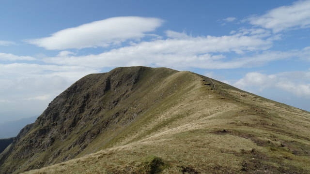 Mweelrea SE SpurMountain / peak · 1.6 mi
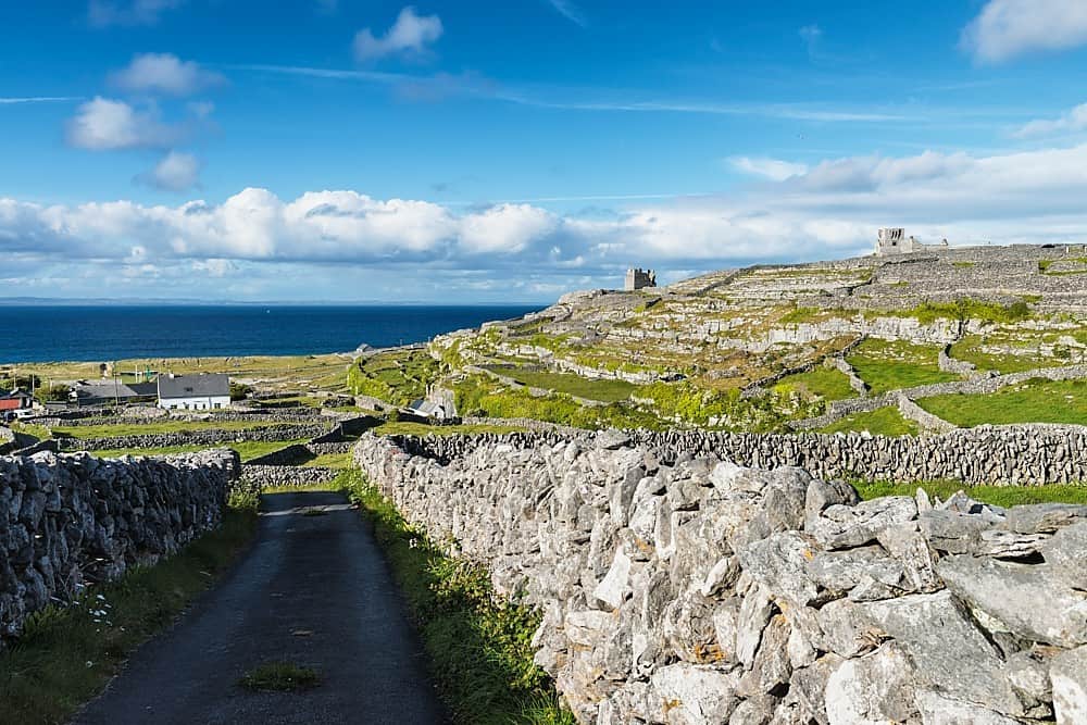 Inis BarnaIslet · 1.8 mi
 GubanillaunHeadland · 2.0 mi
 Lettergesh BeachBeach / strand · 2.2 mi
 DooneenIslet · 2.2 mi
 Silver StrandBeach / strand · 3.1 mi