
What is recorded here
Situated on E side of Salrock valley and dedicated to St Rioch or Roc. Marked 'in Ruins' near centre of graveyard on 1st ed. of OS 6-inch map but as 'Site of on 2nd ed. (1898). No visible trace of it survives in the overgrown graveyard, which is crowded with burials. Two holy wells (GA010-008003--GA010-009----) lie just to NW of church and c. 60m SSW respectively. (Killanin 1954, 100; O'Flanagan 1927a, Vol. 3, 30; Stokes 1868, 40-1)
The above description is derived from the published 'Archaeological Inventory of County Galway Vol. I - West Galway'. Compiled by Paul Gosling (Dublin: Stationery Office, 1993).
Date of upload: 05 August 2010
This remains an important historical record, but the official description says the monument is no longer visible or has been destroyed. The monument record does not grant public access. Check the route and ask the landowner before entering private land.
- What survives
- No visible remains or recorded as destroyed
Places near here
 Tobersalrock Holy WellHoly well · 16 yd
 Salrock Churchchurch/chapel · 241 yd
 Holy well in FoherHoly well · 1195 yd
 BenchoonaMountain / peak · 1.5 mi
 Glassilaun BeachBeach / strand · 1.5 mi
 GarraunMountain / peak · 1.7 mi
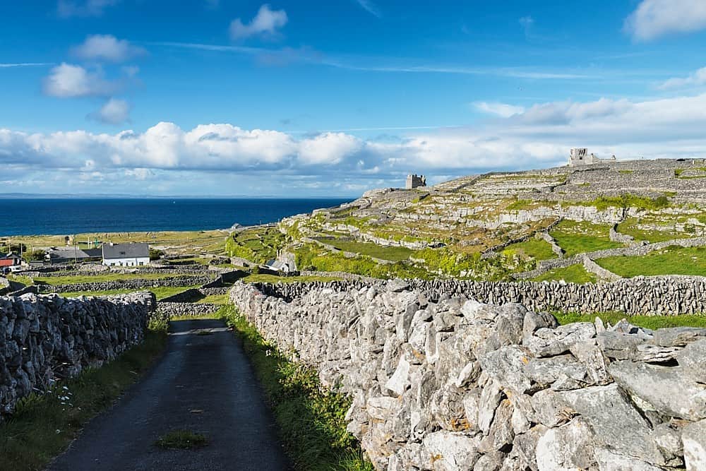 Inis BarnaIslet · 1.9 mi
 GubanillaunHeadland · 2.1 mi
 Lettergesh BeachBeach / strand · 2.3 mi
 DooneenIslet · 2.3 mi
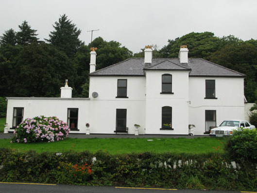 Kylemore Househunting/fishing lodge · 3.0 mi
 Silver StrandBeach / strand · 3.2 mi
Other information
Photo: Credit not shown in the picture search · Rights wording not checked; contact us if this picture should be removed