What is recorded here
On an E-facing slope in grassland overlooking a bog to E. Named on OS 6-inch maps as 'Monument' and indicated by a tiny open circle. What is visible is a low grassed-over oval mound of earth (NNE-SSW 10m, ESE-WNW 6m). The summit is rounded and stands up to 1.5m in height. A trackway, running N-S, clips the monuments on E side. Possibly a tumulus, but the site name suggests a relatively modern stone structure. This is probably the 'low mound' referred to by Knox (1911a, 109).
The above description is derived from the published 'Archaeological Inventory of County Galway Vol. II - North Galway'. Compiled by Olive Alcock, Kathy de hÓra and Paul Gosling (Dublin: Stationery Office, 1999).
Date of upload: 05 August 2010
The monument record does not grant public access. Check the route and ask the landowner before entering private land.
- What survives
- Recorded monument
Places near here
 Monumental structure in BelmontMonumental structure · 1 yd
 Hillfort in BelmontHillfort · 387 yd
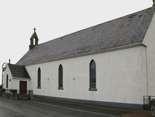 Saint Patrick's Catholic Churchchurch/chapel · 1.4 mi
 Quarry in BelmontQuarry · 1.4 mi
 Castle (in ruins)Castle, unclassified · 2.0 mi
 Bawn in BlindwellBawn · 2.6 mi
 European YewEuropean Yew · 4.7 mi
 Geoffrey's WoodForest · 4.9 mi
 Mass RockNamed rock · 6.3 mi
 Ross Errilly FriaryHeritage attraction · 11 mi
 Inis Mhic an TrírIsland · 14 mi
 Otter IslandIslet · 14 mi