What is recorded here
Situated on top of a broad hill. A small feature (diam. c. 5m) is depicted on the NNW-SSE field bank and townland boundary between Antfield to the E and Aghintas at a point where a WSW-ENE field bank in Aghintas meets the boundary on the 1835 edition of the OS 6-inch map. It is described in gothic lettering as a 'Monument' and is c. 20m NNW of the conjunction with the townland boundary of Finnalaghta townland – the stone of Fionn - and the summit of the hill is c. 130m to the SE. A small cairn is thought to have been erected over the bodies of soldiers slain in 1689, according to a 19th-century manuscript (TCD MS 1483, G5 17-20). It was described in 1945 as a small mound with bushes and was locally thought to be about 300 years old (OSFM). The surviving overgrown portion is D-shaped (ext. dims c. 9m E-W; c. 9m N-S) and is the SW quadrant of a small enclosure that has been removed elsewhere. It is defined by a slight earthen bank (at S: Wth 2m; int. H 0.1m; ext. H 0.4-0.5m) curving S-W and by field banks at N and E. There is no evidence of a fosse. Moore (Dublin: Stationery Office, 2003).
Situated on top of a broad hill. A small feature (diam. c. 5m) is depicted on the NNW-SSE field bank and townland boundary between Antfield to the E and Aghintas at a point where a WSW-ENE field bank in Aghintas meets the boundary on the 1835 edition of the OS 6-inch map. It is described in gothic lettering as a 'Monument' and is c. 20m NNW of the conjunction with the townland boundary of Finnalaghta townland –…
From the National Monuments Service (Archaeological Survey of Ireland) record LE035-005
This remains an important historical record, but the official description says the monument is no longer visible or has been destroyed. The monument record does not grant public access. Check the route and ask the landowner before entering private land.
- What survives
- No visible remains or recorded as destroyed
Places near here
Photo credits
- National Inventory of Architectural Heritage
- Reading Tom, Wikimedia Commons · CC BY 2.0
- Vicente Fernández Rioja, Wikimedia Commons · CC BY-SA 4.0
- Doug Kerr from Albany, NY, United States, Wikimedia Commons · CC BY-SA 2.0
- SE Keenan, Wikimedia Commons · CC BY-SA 4.0
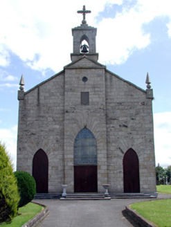 Catholic Church of the Immaculate ConceptionChurch/chapel · 396 ydEnclosure in Moher (mohill By., Drumod Ed)Enclosure · 561 ydFortsFairy fort / earthen ringfort · 931 yd
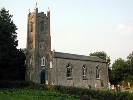 Saint Anne's Church (Annaduff)Church/chapel · 2.1 miTom Dunphy MemorialMemorial · 2.1 miInishmoylinIslet · 2.6 miDockery's IslandIslet · 2.9 miRobert Strawbridge MemorialMemorial · 3.0 mi
 Cavan & Leitrim RailwayMuseum · 3.1 mi
 Monkey-puzzle4.1 mi
 Western Hemlock4.2 mi
 Lough Rynn HouseCastle · 4.2 mi
More archaeology and monuments in County Leitrim · All of County Leitrim
What do you know about this place?