What is recorded here
In pasture, on N-facing slope. Square enclosure (38m N-S; 37.6m E-W) defined by earthen bank (max. int. H 1.2m); stone-faced to N; exterior fosse and parallel field fence (H 1m) to W. Gaps to NE (Wth 5m) and SW (Wth 2.6m). Partially overgrown.
The above description is derived from the published 'Archaeological Inventory of County Cork. Volume 2: East and South Cork' (Dublin: Stationery Office, 1994). In certain instances the entries have been revised and updated in the light of recent research.
Date of upload/revision: 14 January 2009
The monument record does not grant public access. Check the route and ask the landowner before entering private land.
- What survives
- Recorded monument
Places near here
 Enclosure in Ballyshane (imokilly By.)Enclosure · 1009 yd
 rectory/glebe/vicarage/curate's houserectory/glebe/vicarage/curate's house · 1516 yd
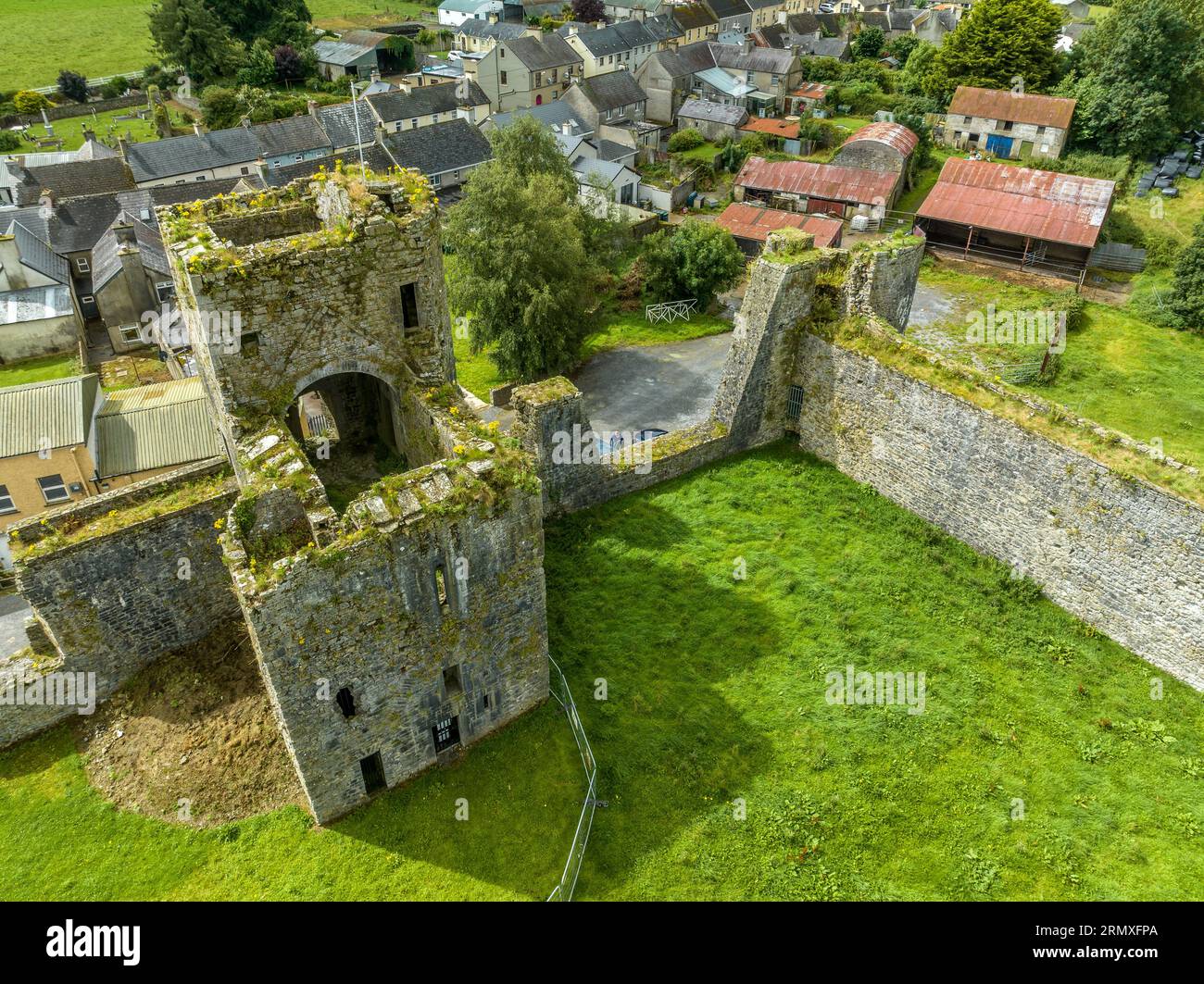 Enclosure in BallybranaganEnclosure · 1558 yd
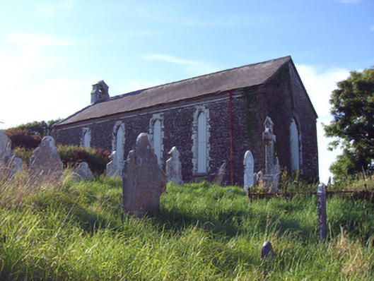 church/chapelchurch/chapel · 1728 yd
 Anchor The SagaMemorial · 1.0 mi
 RobertMemorial · 1.3 mi
 Ballybrannigan BeachBeach / strand · 1.4 mi
 InchBeach / strand · 1.4 mi
 Fossil Worm TrackNamed rock · 1.5 mi
 Doonpower (in Ruins)Castle, unclassified · 1.6 mi
 (Site of) CastleCastle, unclassified · 3.1 mi
 Sweet ChestnutSweet Chestnut · 3.4 mi