What is recorded here
On a broad terrace on the N side of NE-SW running valley with hills rising steeply to the NW. There are very good views to the NE and SW but poor to the NW, in grassland. A large sub-rectangular enclosure (overall dims. c. 90m N-S; c. 80m E-W) is depicted on the 1st (1840) OS 6-inch map, tapering slightly to the E. A small farmyard is depicted immediately outside the NW angle. The monument is not depicted on the 1900 revision indicating that it was levelled between 1840 and 1900. The farm and outbuildings have extended eastward and currently occupy the N portion of the monument. The enclosure was classified by Barry (1977, 191) as a moated site based on the cartographic evidence. The monument is not visible at ground level.
Compiled by: Jean Farrelly
Date of upload: 28 April 2020
The monument record does not grant public access. Check the route and ask the landowner before entering private land.
- What survives
- Recorded monument
Places near here
 Enclosure in CoorleaghEnclosure · 1.0 mi
 Enclosure in ShankillEnclosure · 1.0 mi
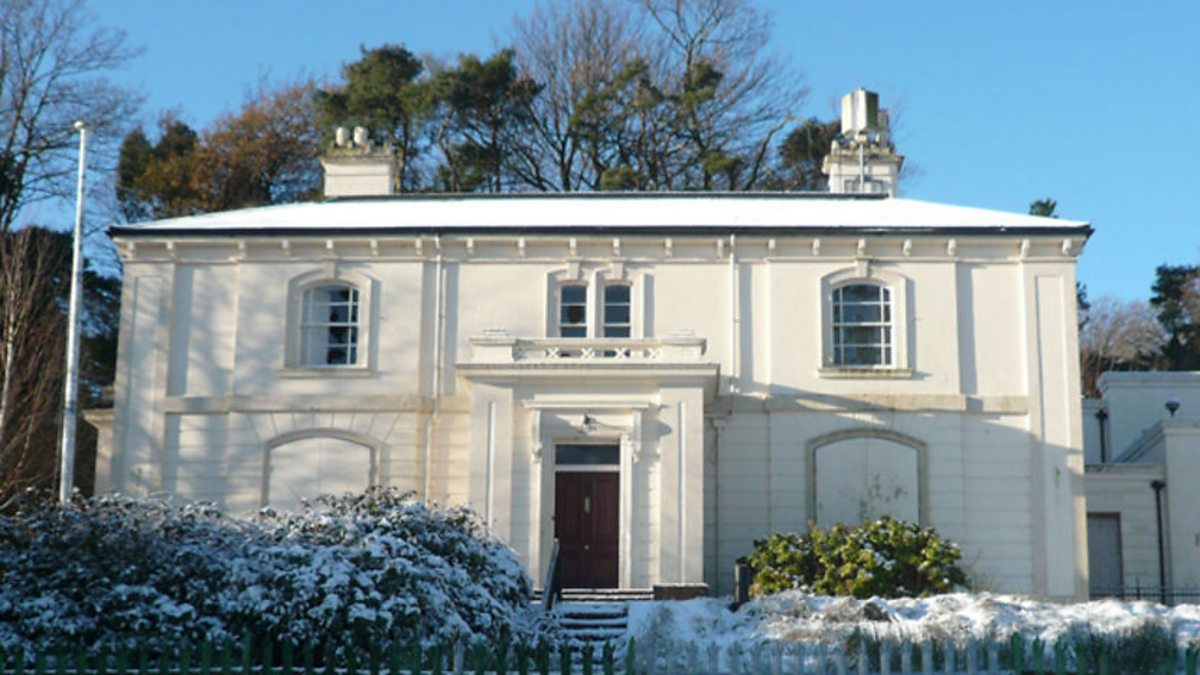 Shankill Church (in ruins)Church · 1.5 mi
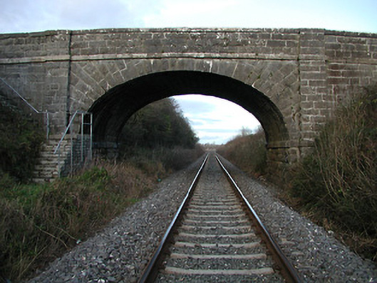 bridgebridge · 1.5 mi
 The Green GardenWood · 1.6 mi
 Church (in ruins), GraveyardChurch · 2.2 mi
 Lock Keeper's House and Lodge MillsVisitor information · 3.1 mi
 Church, GraveyardChurch · 3.2 mi
 Black Castle (in ruins)Castle, tower house · 3.4 mi
 Freneystown CastleCastle, tower house · 3.4 mi
 The Columban WayVisitor information · 3.6 mi
 Sweet ChestnutSweet Chestnut · 4.3 mi