
What is recorded here
Low rolling hillocks along foot of E side of N-S valley. Mostly reclaimed grassland. Fair views within the confines of the valley. Identified as a roughly circular enclosure (diam. c. 60m) on an aerial photograph (GSI 1973-7). The monument is not visible at ground level.
Compiled by: Jean Farrelly
Date of revised upload: 29 February 2016
The monument record does not grant public access. Check the route and ask the landowner before entering private land.
- What survives
- Recorded monument
Places near here
 IndicatedGraveyard · 1344 yd
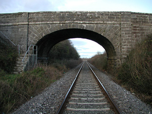 bridgebridge · 1.4 mi
 Enclosure in BallinvallyEnclosure · 1.6 mi
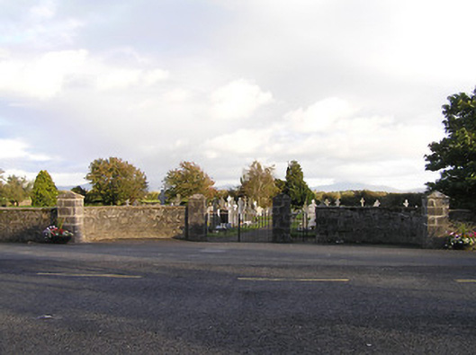 graveyard/cemeterygraveyard/cemetery · 1.7 mi
 The Green GardenWood · 1.7 mi
 Freneystown CastleCastle, tower house · 2.4 mi
 Church (in ruins), GraveyardChurch · 2.9 mi
 Moonhall Castle (ruins)Castle · 3.6 mi
 Lock Keeper's House and Lodge MillsVisitor information · 4.0 mi
 St. Mogarra’s WellSpring · 4.1 mi
 HawthornHawthorn · 4.1 mi
 Church, GraveyardChurch · 4.2 mi
Other information
Photo: Credit not shown in the picture search · Rights wording not checked; contact us if this picture should be removed