What is recorded here
On an E-facing slope of poorly drained rising ground in upland region overlooking stream immediately to E. Ringfort (TS055-050----) located 140m to S. No surface remains visible of any rectangular enclosure in area marked on latest ed. OS 6-inch map. Rectangular enclosure indicated on 1840 ed. OS 6-inch map.
Compiled by: Jean Farrelly
Date of upload: 26 August 2011
The monument record does not grant public access. Check the route and ask the landowner before entering private land.
- What survives
- Recorded monument
Places near here
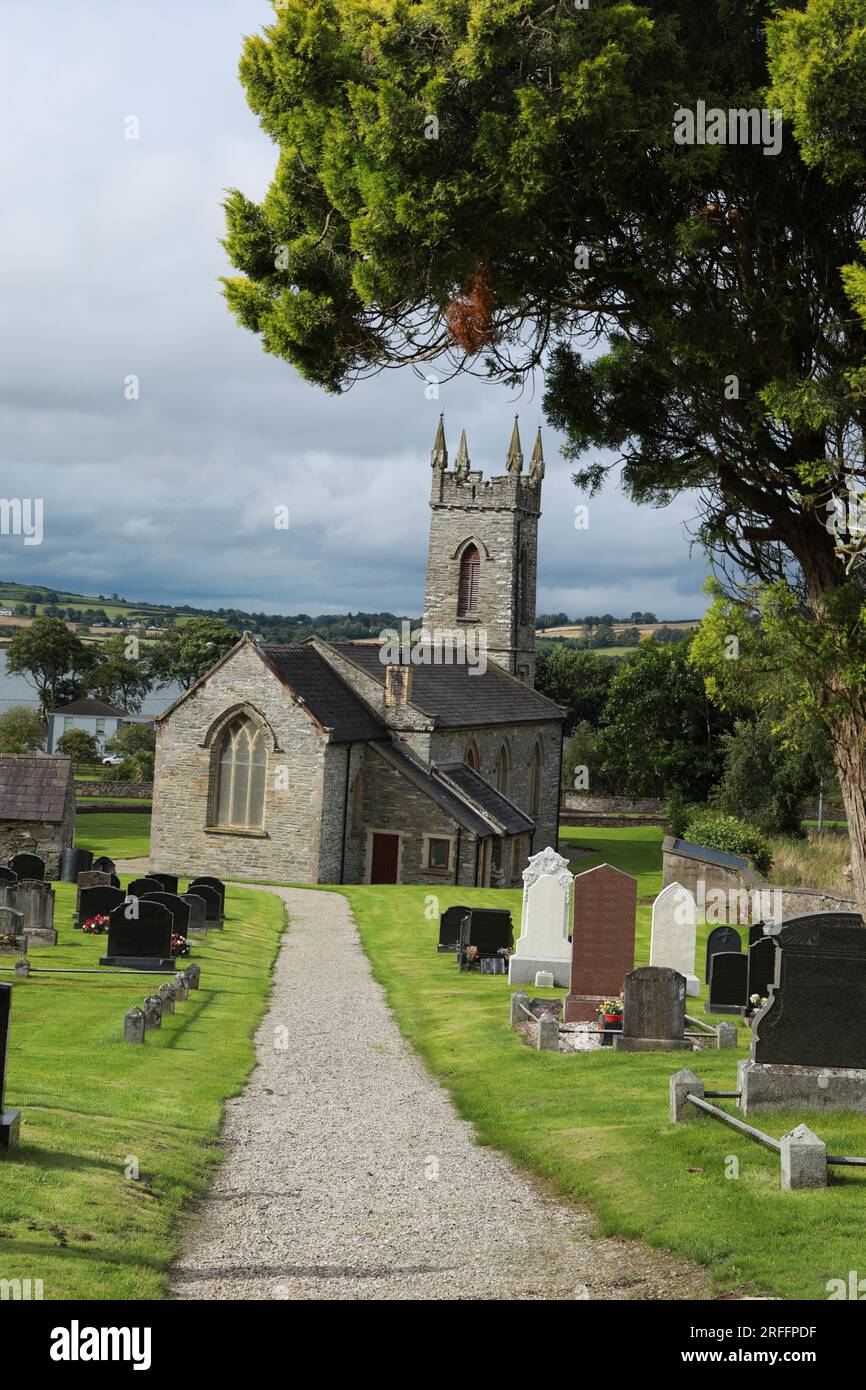 Church in ShangarryChurch · 839 yd
 RoadRoad, road/trackway · 979 yd
 Site of ChurchChurch · 1279 yd
 Bawn in LismalinBawn · 1461 yd
 IndicatedEnclosure · 1714 yd
 Crohane CastleCastle · 2.0 mi
 Fenane WoodForest · 2.7 mi
 Top Field at Carey'sForest · 2.7 mi
 Knockuragh HillMountain / peak · 3.0 mi
 Eagle HillMountain / peak · 4.1 mi
 Derrynaflan TrailHeritage attraction · 7.7 mi
 Gobban Saer's GraveArchaeological place · 8.6 mi