What is recorded here
The following description is derived from the published 'Archaeological Inventory of County Meath' (Dublin: Stationery Office, 1987). In certain instances the entries have been revised and updated in the light of recent research.
Date of upload/revision: 10 July 2007
Raised rectangular area defined by scarps (dims. 35m WNW-ESE, 32m NNE-SSW) with wide external fosse. Outer fosse at E side and stream adjacent to W. No visible entrance.
The monument record does not grant public access. Check the route and ask the landowner before entering private land.
- What survives
- Recorded monument
Places near here
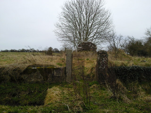 RuinChurch · 485 yd
 Regan's RathArchaeological place · 492 yd
 Mill HillArchaeological place · 536 yd
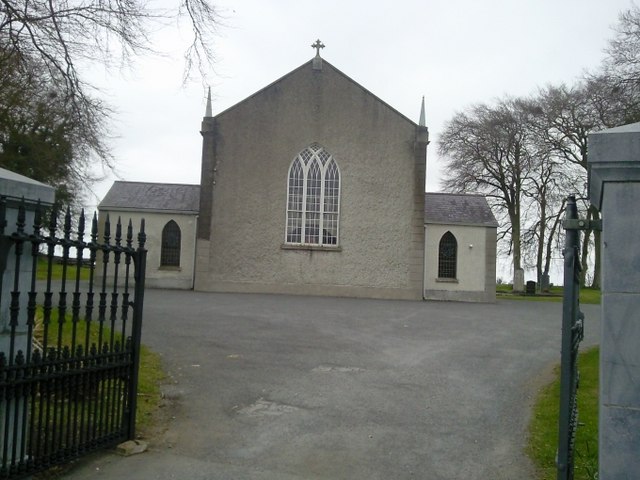 Catholic Church of the Assumptionchurch/chapel · 900 yd
 Lismahon 1798 MemorialMonument · 1.2 mi
 CastleCastle, motte · 1.6 mi
 Site of Old CastleCastle, unclassified · 1.9 mi
 Caulstown Christmas Tree FarmForest · 4.0 mi
 Saint Oliver Plunkett 1625-1681Memorial · 4.1 mi
 Hanwood GardensHeritage attraction · 4.5 mi
 MullaghMountain / peak · 4.6 mi
 Ash HillMountain / peak · 4.8 mi