What is recorded here
Situated on the level marshy floor of a stream valley. Quadrangular enclosure (max. int. dims. 42m N-S; 42-48m E-W), largely levelled but defined by a bank (Wth 2m), an external fosse (Wth 5m) and an outer bank (Wth 2m) surviving as cropmarks, visible on aerial photograph (CUCAP, BDR 42). The entrance (Wth 4m) is at the centre of the E side adjacent to the stream.
The above description is derived from the published 'Archaeological Inventory of County Wicklow' (Dublin: Stationery Office, 1997). In certain instances the entries have been revised and updated in the light of recent research.
Date of upload/revision: 17 December 2008
The monument record does not grant public access. Check the route and ask the landowner before entering private land.
- What survives
- Recorded monument
Places near here
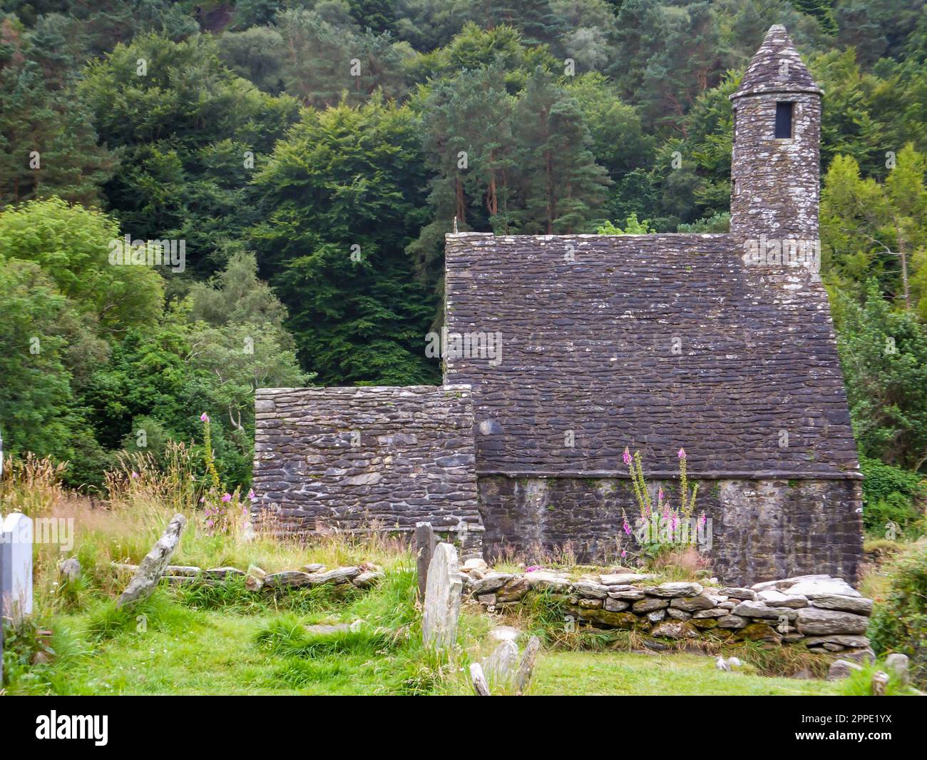 Enclosure in MattymountEnclosure · 119 yd
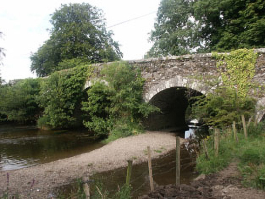 Tuckmill Bridgebridge · 407 yd
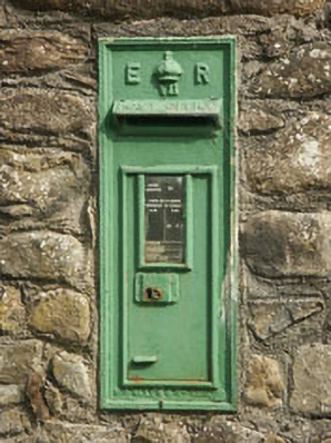 post boxpost box · 507 yd
 IndicatedEnclosure · 1257 yd
 Tinoran HillMountain / peak · 1.4 mi
 CastleCastle, tower house · 1.6 mi
 Bawn in Ballintruer BegBawn · 2.5 mi
 Saint Brigit's Mass StoneNamed rock · 3.1 mi
 Sam McAllistair GraveMemorial · 3.2 mi
 Saint Brigit's ChairNamed rock · 3.2 mi
 English hollyEnglish holly · 3.8 mi
 Rahill Church (in ruins), GraveyardChurch · 3.8 mi