What is recorded here
Indicated on the 1st (1839) ed. OS 6-inch map and 1947 revision as a square enclosure (dims. c. 50m N-S; c. 52m E-W) with slightly rounded corners. According to Barry (1977, 191) the monument had been removed, 'in the last ten years', c. 1960s and was in tillage with a maize crop. An aerial photograph taken in 1989 shows it as a cropmark, defined by a fosse (Wth c. 4m) (GB89.P.24, 13 July 1989).
See attached:
KK023-007----_01 satellite imagery (Google Earth, imagery date 17 June 2017)
Compiled by: Jean Farrelly
Date of upload: 31 May 2021
The monument record does not grant public access. Check the route and ask the landowner before entering private land.
- What survives
- Recorded monument
Places near here
 Enclosure in RaheenapishaEnclosure · 185 yd
 Jamie BroderickMemorial · 887 yd
 HawthornHawthorn · 949 yd
 Bullaun stone in Kilmog OR RacecourseBullaun stone · 956 yd
 Castle BamfordCastle, tower house · 1036 yd
 The N76 Callan Road Realignment SchemeMemorial · 1152 yd
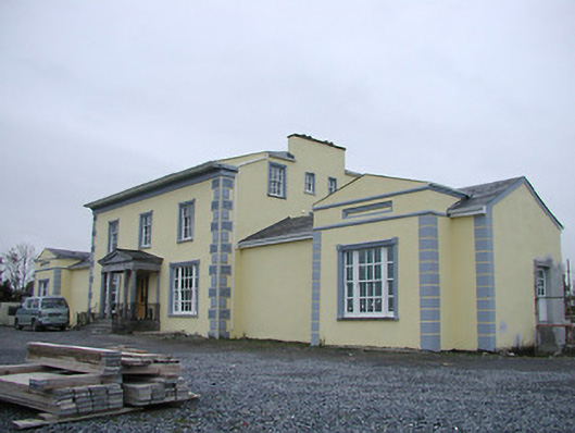 Tinnypark Househouse · 1371 yd
 Church in Castleinch OR InchyolaghanChurch · 1710 yd
 Castle (in ruins)Castle, unclassified · 1.0 mi
 Millennium WoodWood · 2.0 mi
 River LifeVisitor information · 2.0 mi
 The FordVisitor information · 2.0 mi