
What is recorded here
A rectangular enclosure (dims. c. 50m N-S; c. 57m E-W), defined by a fosse which is visible as a faint cropmark on satellite imagery (Google Earth, imagery date 10 August 2022), identified and reported by Anne-Karoline Distel. A small square sand pit or pond (dims. c. 20m x c. 20m) occupying the SE sector of the enclosure is indicated on the 1st (1839) ed. OS 6-inch map and subsequent revisions. A moated site (KK023-007----) lies c. 115m to the SSW.
Compiled by: Jean Farrelly
The monument record does not grant public access. Check the route and ask the landowner before entering private land.
- What survives
- Recorded monument
Places near here
 Jamie BroderickMemorial · 738 yd
 Castle BamfordCastle, tower house · 871 yd
 HawthornHawthorn · 977 yd
 Bullaun stone in Kilmog OR RacecourseBullaun stone · 985 yd
 St. Patricks BushRitual site, holy tree/bush · 985 yd
 The N76 Callan Road Realignment SchemeMemorial · 1071 yd
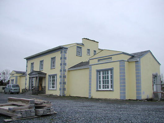 Tinnypark Househouse · 1304 yd
 Church in Castleinch OR InchyolaghanChurch · 1755 yd
 Castle (in ruins)Castle, unclassified · 1.0 mi
 River LifeVisitor information · 1.9 mi
 The FordVisitor information · 1.9 mi
 Millennium WoodWood · 2.0 mi
Other information
Photo: Credit not shown in the picture search · Rights wording not checked; contact us if this picture should be removed