What is recorded here
On the E bank of a NNW-SSE section of the Ogulla River, c. 220m S of Ogulla holy well (RO022-10602-). Rectangular grass-covered area (dims 32m NNW-SSE; 27.7m ENE-WSW) defined by reed-filled, flat-bottomed moats (Wth of top 6.5-7m; Wth of base 1.4-2m; int. D 0.9-1.3m; ext .D 1.2-1.4m) on all sides except the W where the stream is, and with outer flat-topped banks at E (Wth of top 3.5m; H 0.3m) and S (Wth of top 2.4m; H 0.6m). There is a causeway (Wth 4m) at the centre of the N side (max. ext. dims 49.8m NNW-SSE; 43m ENE-WSW). An enclosure or annexe (RO028-014002-), visible as a raised rectangular grass-covered platform (dims 43m NW-SE; 33m NE-SW) defined by a scarp (H 0.5m) at SW, field drains at NW and SE and the stream at NE, is across the stream to the SW in Ballybeg townland.
See the attached aerial photograph taken from the E.
Compiled by: Michael Moore
Date of upload: 29th September, 2010
The monument record does not grant public access. Check the route and ask the landowner before entering private land.
- What survives
- Recorded monument
Places near here
 Enclosure in Ballybeg (roscommon By., Ogulla Ed)Enclosure · 50 yd
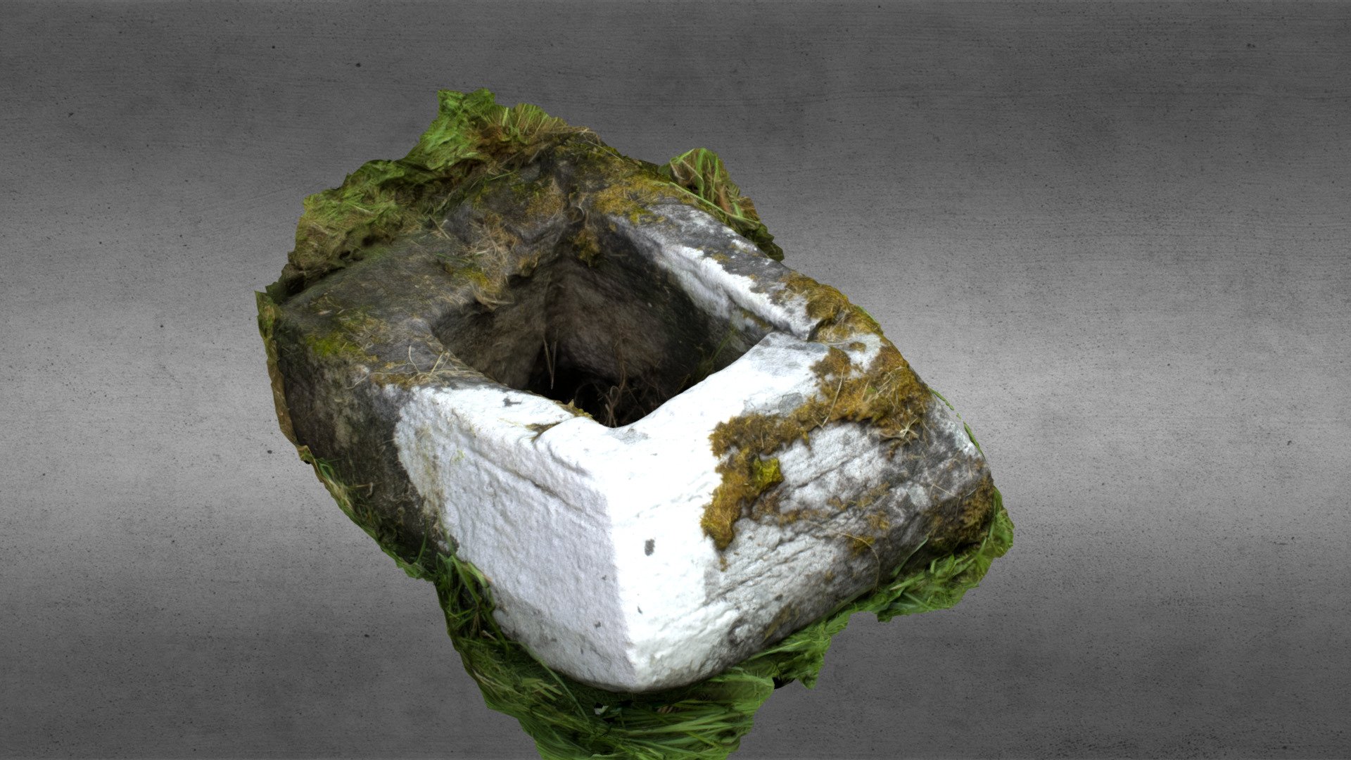 Church in OgullaChurch · 257 yd
 ToberagullaSpring · 269 yd
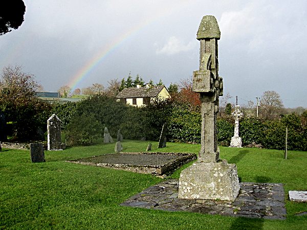 CrossCross, High cross · 282 yd
 European ashEuropean ash · 286 yd
 RoadRoad, road/trackway · 673 yd
 Cruachan Aí Heritage CentreMuseum · 1540 yd
 CastleCastle, unclassified · 1579 yd
 CastlerubyCastle, unclassified · 1.8 mi
 War of Independence Commemorative Military MemorialMemorial · 5.0 mi
 Sweet ChestnutSweet Chestnut · 7.1 mi
 Workhouse MemorialMemorial · 8.4 mi