What is recorded here
Situated on a low N-S ridge in flat pasture with the Derheen River 40m to the E. Depicted as a trapezoidal-shaped enclosure on the 1903 ed. OS 6-inch map. During a recent archaeological assessment carried out in November of 2010 under excavation licence number 10E448, the cropmark of the levelled monument was visible on the S, W and N sides (Henry 2010, 3). The levelled monument was described as consisting of a slightly raised sub-rectangular area (dims. 70m N-S x 30m E-W) defined by a crop-mark of a levelled bank (Wth 3.7m) that is enclosed by an in-filled fosse (Wth 4m) which is visible as a slight dip in the ground (Henry 2010, 3-4). This monument is depicted as a trapezoidal shaped field with a laneway running onto the wider N side of the field (Wth c. 60m E-W) which connected the site to the public road to the W. The field is narrower at the S end where it measures c. 30m wide. A building is depicted outside the SE angle of the enclosure on the first edition of the OS 6-inch map. This monument is not depicted as an antiquity on the first edition of the OS 6-inch map and is shown as a hachured trapezoidal-shaped enclosure on the revised editions of the OS 6-inch maps.
The above description is derived from 'The Archaeological Inventory of County Tipperary. Vol. 1 - North Tipperary' compiled by Jean Farrelly and Caimin O'Brien (Dublin: Stationery Office, 2002). In certain instances the entries have been revised and updated in the light of recent research.
Henry, M. 2010 'Archaeological Impact Assessment of a Proposed House Site at Noard, Twomileborris, Thurles, Co. Tipperary', Unpublished Report, National Monuments Service Archive.
Date of upload/revision: 24 November 2010
The monument record does not grant public access. Check the route and ask the landowner before entering private land.
- What survives
- Recorded monument
Places near here
 IndicatedEcclesiastical site · 1188 yd
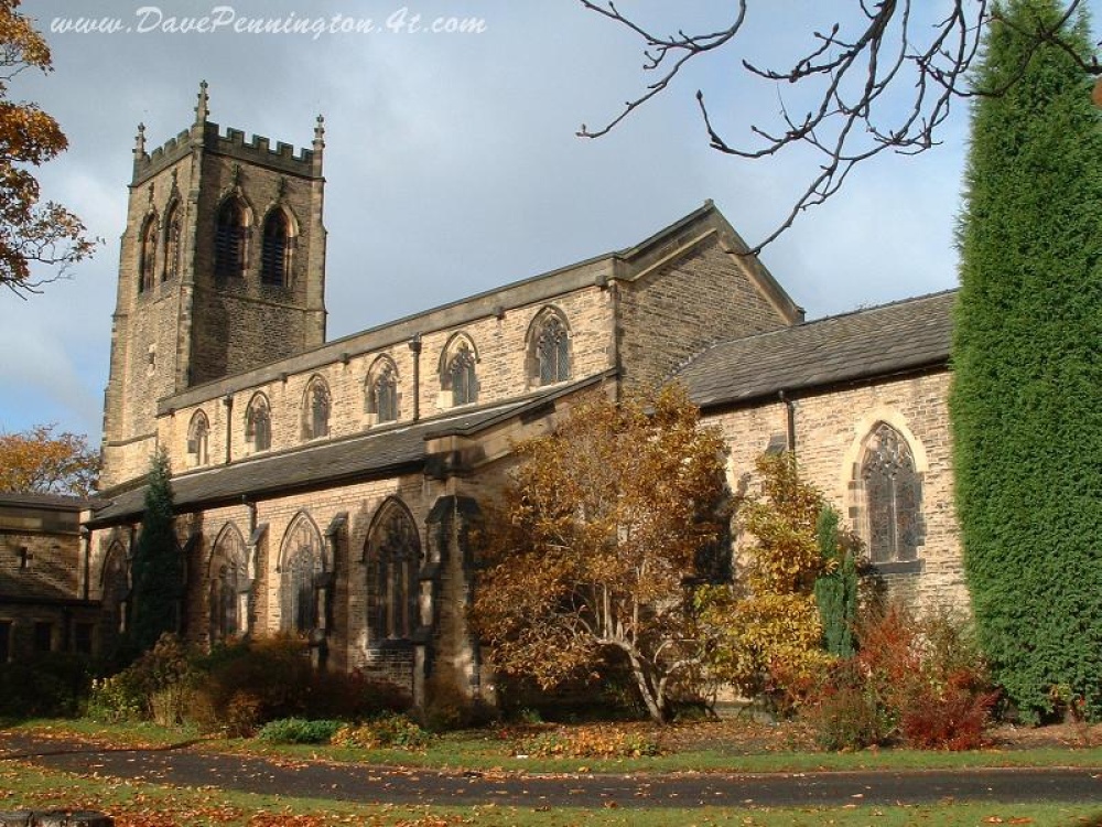 Church (in ruins)Church · 1192 yd
 Leighmore Church (in ruins)Church · 1227 yd
 Sheela-na-gig in LeighSheela-na-gig · 1230 yd
 CastleCastle, tower house · 1.3 mi
 Coolcroo CastleCastle, tower house · 2.0 mi
 Sweet ChestnutSweet Chestnut · 2.8 mi
 European ashEuropean ash · 3.0 mi
 Derrynaflan TrailHeritage attraction · 3.8 mi
 Kilcooly AbbeyHeritage attraction · 4.7 mi
 Waterloo HillMountain / peak · 4.8 mi
 Horse and JockeyVisitor information · 4.9 mi