What is recorded here
Aerial photograph (CUCAP BGN 53) shows a cropmark of a fosse defining a rectangular enclosure (est. max. dims. c. 40m NE-SW x c. 35m NW-SE) adjacent to a stream shown on the 1835 OS 6-inch map but not associated with any structure or part of the field system.
Date of upload: 6 September 2016
The monument record does not grant public access. Check the route and ask the landowner before entering private land.
- What survives
- Recorded monument
Places near here
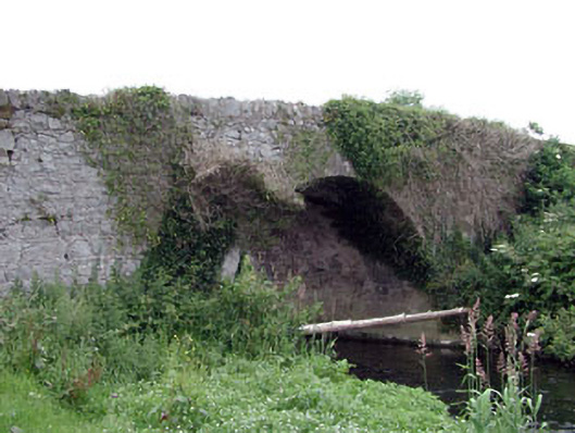 Newtown Bridgebridge · 315 yd
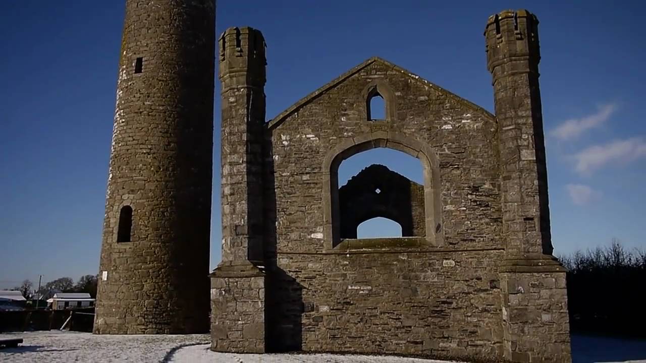 Church (in Ruins)Church · 557 yd
 Enclosure in BlackcastleEnclosure · 614 yd
 Enclosure in NewtownpilsworthEnclosure · 685 yd
 Castle in ruinsCastle, unclassified · 1266 yd
 Castle (in ruins)Castle, tower house · 1.3 mi
 Pedunculate OakPedunculate Oak · 2.1 mi
 Oak Park Forest ParkWood · 2.3 mi
 Lorcán Ó TuathailMemorial · 3.3 mi
 ProclamationMemorial · 3.5 mi
 Franciscan FriaryHeritage attraction · 3.8 mi
 Castledermot Round TowerHeritage attraction · 3.9 mi