
What is recorded here
Located off the Dublin-Belfast Road in a field of pasture that slopes down gradually eastwards to Corduff stream. This site was identified from aerial photographs taken in 1972 (FSI 367/6). It survives as a roughly rectangular raised platform (dims. c. 45m N-S; 35m E-W; H 1-1.3m) with enclosing fosse (Wth 7.5m; D 0.45m). Drains run from the E, NE, NW and SW sections of the platform. Accessed by fording the Corduff river and the field entrance marked by two stone piers. It was marked on 19th century lease maps as the 'Fancy field'. According to the landowner there is a tradition that the field is the site of the 'town' of Newtown Corduff.
Compiled by: Geraldine Stout
Updated by: Christine Baker
Date of upload: 15 December 2014
The monument record does not grant public access. Check the route and ask the landowner before entering private land.
- What survives
- Recorded monument
Places near here
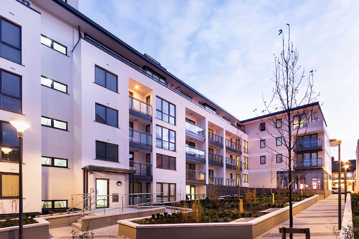 Fulacht fia in Woodpark (balrothery East By.)Fulacht fia · 494 yd
 Cremation pit in RichardstownCremation pit · 579 yd
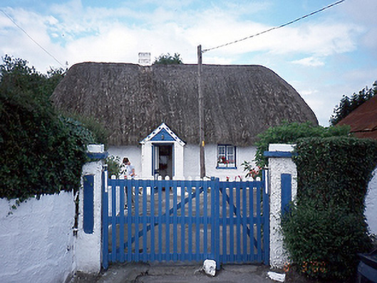 farm housefarm house · 853 yd
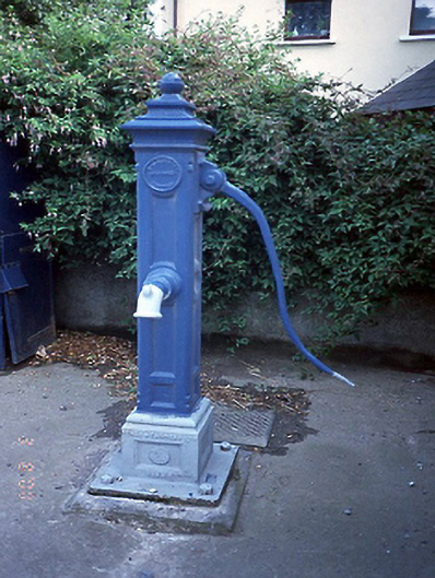 water pumpwater pump · 882 yd
 Thomas AsheMemorial · 1.3 mi
 Picnic AreaPicnic place · 1.5 mi
 Chapel FarmMemorial · 1.5 mi
 Roseville Business ParkVisitor information · 1.7 mi
 Turvey Allotments and Nature ReserveNature reserve · 1.9 mi
 Castle (Site of)Castle, tower house · 2.0 mi
 Turvey HouseCastle, tower house · 2.0 mi
 Hollywood GreatMountain / peak · 3.7 mi
Other information
Photo: Credit not shown in the picture search · Rights wording not checked; contact us if this picture should be removed