What is recorded here
In level ground which falls away to the S beyond the S edge of the monument, on the gentle slopes at the base of Slievenamuck, in pasture. Field boundaries runs NE-SW up to the N angle, NW-SE up to the S angle and NW-SE and NE-SW up to the W angle. A moated site (diam. 38.8m NE-SW) defined by a round-topped bank (Wth 3.9-5.1m; int. H 0.4-0.7m; ext. H 1.1-1.5m) and an external fosse (Wth 2m; D 0.56-0.68m). The NE bank is largely reduced to scarp and has a cattle gap near the N end. The interior is densely overgrown with brambles and otherwise waterlogged and badly cattle poached. Deciduous trees are growing on the bank, the outer face of which has been truncated by cattle. There is a small pond at the NW angle outside the bank, in the adjacent field.
Compiled by: Jean Farrelly
Date of upload: 26 August 2011
The monument record does not grant public access. Check the route and ask the landowner before entering private land.
- What survives
- Recorded monument
Places near here
 IndicatedFairy fort / earthen ringfort · 574 yd
 St. Johns WellHoly well · 734 yd
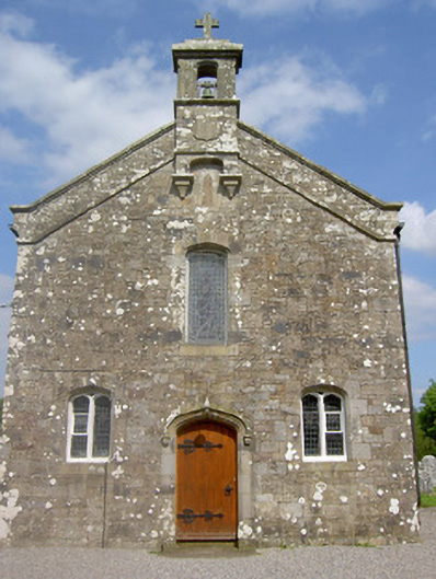 Saint Sedna's Church (Clongbeg)church/chapel · 773 yd
 Church (in ruins)Church · 783 yd
 Glen of AherlowViewpoint · 1519 yd
 Christ the KingViewpoint · 1587 yd
 Bansha ForestForest · 1.2 mi
 Ballynacourty HouseCastle, unclassified · 1.3 mi
 The RockViewpoint · 1.6 mi
 Glengarra WoodWood · 1.7 mi
 Breansha Castle ruinsCastle · 2.1 mi
 SlievenamuckMountain / peak · 2.3 mi