What is recorded here
Mountoliver holds a rare rectangular moated site on a ridge, its double banks and wet ditches still marking a boundary seventy metres long. The shape suggests people wanted a clear box around their lives rather than a round hillfort, perhaps keeping families, herds or secrets inside a visible line. Water would have filled the southern ditch, reflecting sky and warning intruders that the land belonged somewhere else.
Reference to a rath here called Rathsaran (Carrigan 1905, 7). Situated on a ridge. A raised rectangular area (dims. c. 70m N-S, 52m E-W) defined by an inner bank (Wth c. 6.2m; int. H c. 0.6m, ext. H c. 1.5m), intervening fosse (Wth c. 2.7m); outer bank (Wth c. 4.4m; int. H c. 0.9m, ext. H c. 0.7m), and external fosse (W. c. 4.6m) at S.
The above description is derived from the published 'Archaeological Inventory of County Laois' (Dublin Stationery Office, 1995) compiled by P. David Sweetman, Olive Alcock and Bernie Moran. In certain instances the entries have been revised and updated in the light of recent research.
Date of upload: 17 December 2007
The monument record does not grant public access. Check the route and ask the landowner before entering private land.
- What survives
- Recorded monument
Places near here
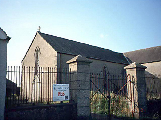 Saint Columba's Catholic Churchchurch/chapel · 215 yd
 Enclosure in LyrogeEnclosure · 624 yd
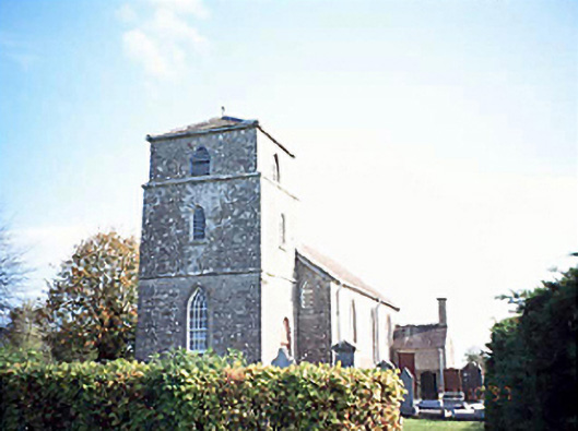 Rathsaran Churchchurch/chapel · 742 yd
 Enclosure in Johnstown GlebeEnclosure · 1396 yd
 Donaghmore MoatCastle, motte · 1.6 mi
 CastleCastle, unclassified · 1.9 mi
 Clonmeen WoodWood · 3.5 mi
 Cnoc SeanrathaMemorial · 4.3 mi
 Tullow HillMountain / peak · 5.3 mi
 Carricknasrock WoodWood · 5.5 mi
 DelaneyMemorial · 8.1 mi
 College HillMountain / peak · 8.9 mi