What is recorded here
Near the top of a S-facing slope, in tillage. Visible on a 1970 aerial photograph (CUCAP BDO 42) as the cropmark of a rectangular enclosure, possibly a moated site, several other examples of which (KD026-004----, KD026-008---- and KD026-009----) are recorded in this general area. No visible surface trace.
Compiled by: Gearóid Conroy
Date of upload: 24 August 2012
The monument record does not grant public access. Check the route and ask the landowner before entering private land.
- What survives
- Recorded monument
Places near here
 Moore Abbey WoodWood · 589 yd
 The ClumpWood · 889 yd
 IndicatedHoly well · 998 yd
 Font in Mooreabbey DemesneFont · 1548 yd
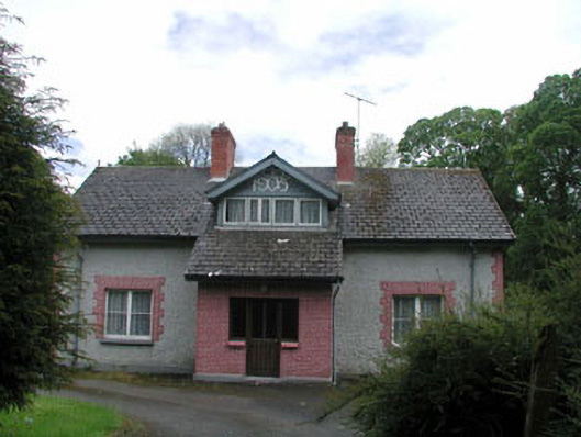 Moore Abbeyhouse · 1556 yd
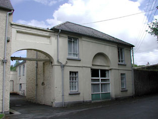 Grove Houseoutbuilding · 1710 yd
 OutlinedCastle, unclassified · 3.7 mi
 Bawn in Lackagh BegBawn · 3.9 mi
 Church (in Ruins), GraveyardChurch · 4.6 mi
 Bog Lake WalkWalking route · 6.4 mi
 Derryounce Walk (Yellow Loop)Walking route · 6.7 mi
 Bithia Mary CrokerMemorial · 7.2 mi