What is recorded here
Situated immediately W of a field boundary, in level pasture. The monument is masked by dense scrub vegetation cover. A sub-rectangular platform (26.7-34.5m N-S; 19.7-26m E-W), best preserved from W to NE and from SSW to E, surrounded on four sides by a fosse (Wth 1.8m; ext. D 0.2m; int. D 0.5m). The fosse on the E side has been encroached on by a now-dilapidated field wall. The platform is slightly shallower on the E side which might represent an entrance. Barry (1981a, 84; no 30) lists this as a moated site.
Compiled by: Denis Power
Date of upload: 5 February 2013
The monument record does not grant public access. Check the route and ask the landowner before entering private land.
- What survives
- Recorded monument
Places near here
 Not shownFulacht fia · 371 yd
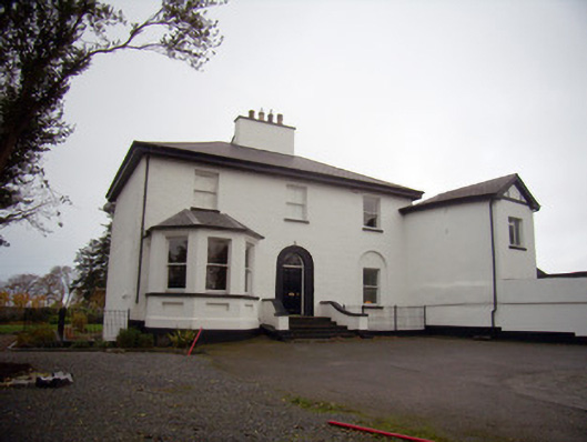 Mount Mungretrectory/glebe/vicarage/curate's house · 375 yd
 Enclosure in CastlemungretEnclosure · 573 yd
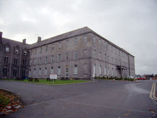 Mungret Collegecollege, stables · 869 yd
 Coonagh NatureNature reserve · 1.7 mi
 Coreen Castle (in ruins)Castle, unclassified · 2.0 mi
 St James's WellSpring · 2.0 mi
 Carrigogunnell CastleRuins · 2.3 mi
 Sailors HaggardMemorial · 2.9 mi
 Cratloe WoodsForest · 5.2 mi
 Grass IslandIslet · 5.6 mi
 Fountain SculptureHeritage attraction · 5.7 mi