What is recorded here
Located on a slight E-W ridge. This is a subrectangular grass-covered area (dims. 34m E–W; 31m N–S) defined by a badly eroded earthen bank (Wth 4–5m; H 0.3m) with slight traces of an outer fosse or moat (Wth 4m; D 0.3m), which is most visible at the E side. it is visible as a slight feature on the OSI series of aerial photographs (2005).
The above description is derived from the published 'Archaeological Inventory of County Wexford' (Dublin: Stationery Office, 1996). In certain instances the entries have been revised and updated in the light of recent research.
Compiled by: Michael Moore
Date of upload/revision: 21 May, 2012
The monument record does not grant public access. Check the route and ask the landowner before entering private land.
- What survives
- Recorded monument
Places near here
 Church in Ballyregan (scarawalsh By.)Church · 932 yd
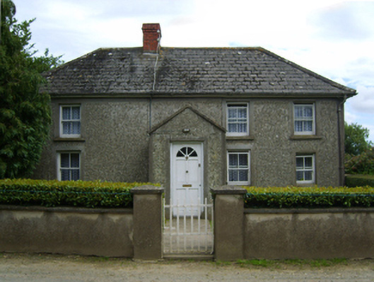 farm housefarm house · 1301 yd
 The CoilWood · 1510 yd
 The GroveWood · 1706 yd
 IndicatedFairy fort / ringfort · 1.2 mi
 Giants BedNamed rock · 1.4 mi
 Father Murphy CentreHeritage attraction · 1.4 mi
 Hearth in QuarryHearth · 1.5 mi
 Carrigroe HillMountain / peak · 1.6 mi
 Boley HillMountain / peak · 3.0 mi
 Bird BoxesVisitor information · 3.4 mi
 Birds of PreyVisitor information · 3.5 mi