What is recorded here
In undulating grassland. Well-preserved rectangular moated site (N-S 41m, E-W 30m) defined by two banks and an intervening fosse. The inner bank is present near SE corner; elsewhere a scarp forms the enclosing element. The fosse and outer bank are clearly visible. Quarrying has disturbed the N and E sides of the monument. Within the interior is a horseshoe-shaped depression (L c. 9m). (Claffey 1983, 156)
The above description is derived from the published 'Archaeological Inventory of County Galway Vol. II - North Galway'. Compiled by Olive Alcock, Kathy de hÓra and Paul Gosling (Dublin: Stationery Office, 1999).
Date of upload: 05 August 2010
The monument record does not grant public access. Check the route and ask the landowner before entering private land.
- What survives
- Recorded monument
Places near here
 IndicatedChurch · 1123 yd
 Leacht cuimhne in SummervilleLeacht cuimhne · 1239 yd
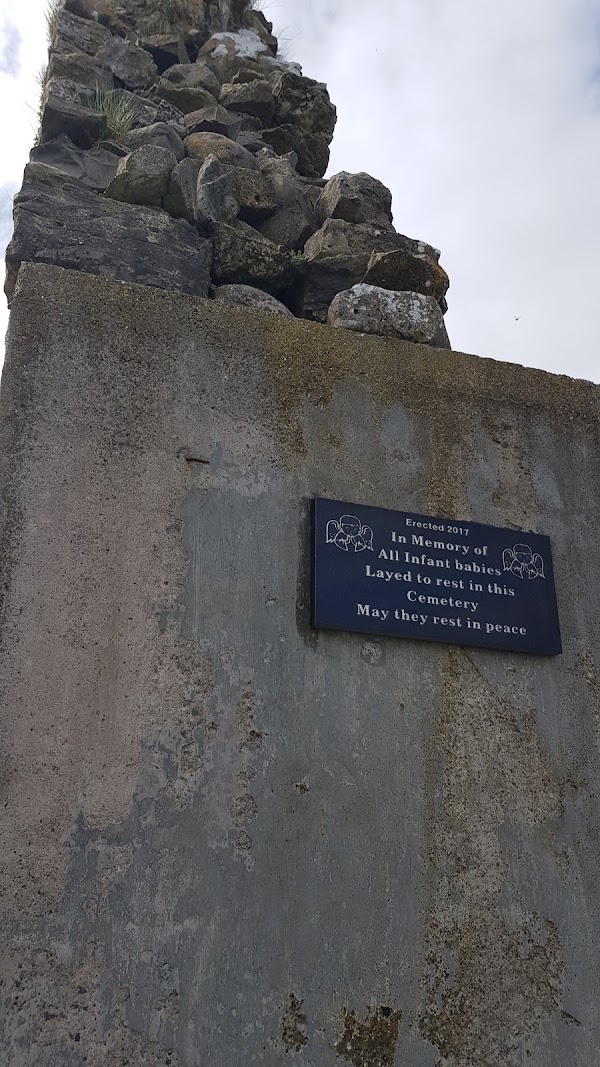 Enclosure in Templemoyle (coolcoo Ed)Enclosure · 1.3 mi
 HawthornHawthorn · 1.7 mi
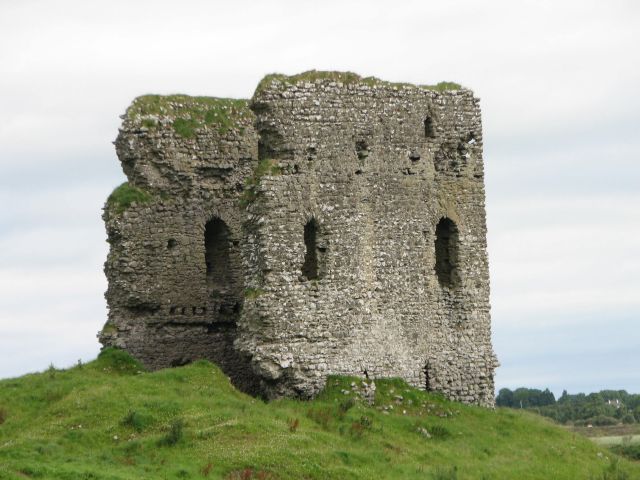 Moylough CastleCastle · 1.8 mi
 Holy Trinity ChurchChurch · 1.9 mi
 CastleCastle, unclassified · 2.7 mi
 SycamoreSycamore · 3.3 mi
 Menlough IRAMemorial · 5.8 mi
 Knockmoy AbbeyHeritage attraction · 6.6 mi
 Mount MaryMountain / peak · 10 mi
 Mass RockNamed rock · 13 mi