What is recorded here
In pasture, on a gentle W-facing slope. Adjoins moated site (TS069-081001-) to N. Roughly rectangular area (dims. c. 52m N-S; c. 24m E-W) defined by scarp (H 0.9m-1.45m) to S (L c. 20m), W (L c. 44m) and S half of E side (L c. 48m). Exterior of scarp to S, W and S half of E side is defined by drains (Wth 7m; D 0.6m) of which are linear and appear freshly cut to E and W. Curvilinear drain (Wth 6.2m; D 0.65m) to S is more fosse like, but has also been re-cut. Remains of fosse (Wth 8m; D 0.65m) enclose N side (L c. 28m) and N half of E side. Field boundary to S appears to truncate the monument. Remains of sub-rectangular area (dims. 24m N-S; 35m E-W) to S of field boundary are defined by latter to N and remains of fosse (Wth 8.2m; D 0.25m) to E, S and W sides. Interior incorporated into rest of field as pasture to N and S of field boundary. Not shown on 1840 OS 6-inch map. Identified by aerial photo (GSI S.656/5, 16 April 1974) as sub-oval enclosure cut by two linear features defined by bushes to E and W and respected by curvilinear field boundary to S.
Compiled by: Jean Farrelly
Date of upload: 26 August 2011
The monument record does not grant public access. Check the route and ask the landowner before entering private land.
- What survives
- Recorded monument
Places near here
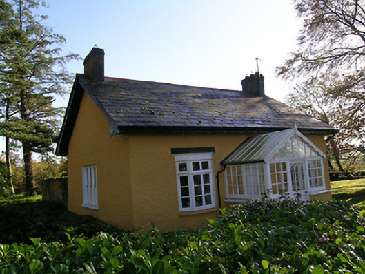 Tullamain Castlegate lodge · 865 yd
 Mora Church (in ruins)Church · 1095 yd
 St. Nicholas WellHoly well · 1129 yd
 Tullamain MoatCastle, motte and bailey · 1.0 mi
 Enclosure in Moorstown (mora Par.)Enclosure · 1.0 mi
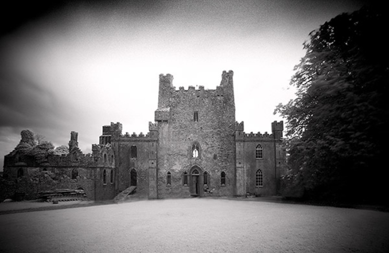 Castle Blake in ruinsCastle, tower house · 1.1 mi
 Pedunculate OakPedunculate Oak · 3.6 mi
 European YewEuropean Yew · 3.6 mi
 Cashel Folk MusuemMuseum · 6.3 mi
 The Rock Of CashelVisitor information · 6.4 mi
 Cormac's ChapelHeritage attraction · 6.5 mi
 Siege of Cahir Castlesiege · 8.4 mi