What is recorded here
Lisnadarragh, County Cavan, once held a rectangular moated enclosure measuring 32 by 26.5 metres, but ploughs and progress have erased every visible trace. The land swallowed the fort, the water, and the hands that built it, leaving behind a clean field where memory should have stood. What remains is the shape of the absence, a rectangle the earth forgot instead of a wall the eye can touch.
Depicted as a rectangular enclosure with the designation 'Fort' on OS 1836 and 1876 eds. Site has been levelled. Its rectangular outline (ext. dims. 32m x 26.5m) was just about traceable when recorded by Davies (1948, 109). There are now no visible remains at ground level.
The above description is derived from the published 'Archaeological Inventory of County Cavan' (Dublin: Stationery Office, 1995). In certain instances the entries have been revised and updated in the light of recent research.
Date of upload/revision: 22 December 2008
The monument record does not grant public access. Check the route and ask the landowner before entering private land.
- What survives
- Recorded monument
Places near here
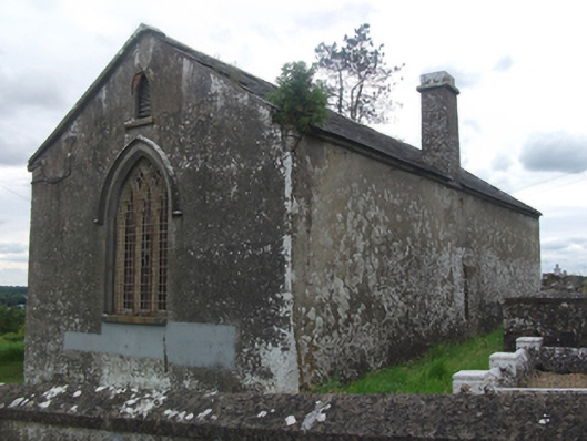 Drumloman Church of Ireland Churchchurch/chapel · 232 yd
 CarrickabaneMountain / peak · 363 yd
 Church in Carrick (clanmahon By.)Church · 1013 yd
 Moynagh Upper ForestForest · 1517 yd
 Carrick RockWood · 1741 yd
 CarrickMountain / peak · 1.1 mi
 IndicatedCrannog · 1.2 mi
 Sporting RockIslet · 1.5 mi
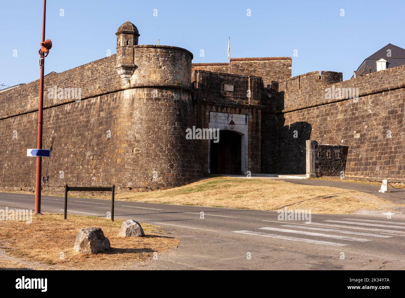 Bastioned fort in FinneaBastioned fort · 1.5 mi
 Watty's RocksIslet · 1.6 mi
 IdicatedCastle, unclassified · 2.7 mi
 Togher CastleCastle · 3.0 mi