What is recorded here
Situated on level pasture in undulating countryside. A poorly preserved roughly rectangular-shaped area ( dims. 45m E-W) enclosed by a poorly preserved earthen bank (Wth 1m; ext. H 0.5m; int. H 0.3m) reduced to a scarp in most places, with an external fosse (Wth 3m) which has been altered at SE. The bank and outer fosse are visible from SW through W to NW only. A possible collapsed Man-made underground passage or well (L. 4.5m; Wth 1.9m; D 2m) with a waterlogged interior is located in the NW sector of the enclosure with a drystone wall surviving five courses high. There is no evidence of a roof over the open passage.
The above description is derived from 'The Archaeological Inventory of County Tipperary. Vol. 1 - North Tipperary' compiled by Jean Farrelly and Caimin O'Brien (Dublin: Stationery Office, 2002). In certain instances the entries have been revised and updated in the light of recent research.
Date of upload/revision: 22 September 2008
The monument record does not grant public access. Check the route and ask the landowner before entering private land.
- What survives
- Recorded monument
Places near here
 LisheenEnclosure · 344 yd
 Church (in Ruins), Grave YdChurch · 708 yd
 IndicatedEcclesiastical enclosure · 740 yd
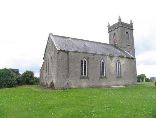 Aglish Church (Aghlishcloghane)church/chapel · 767 yd
 Ballyhaugh Castle (in ruins)Castle, tower house · 1.1 mi
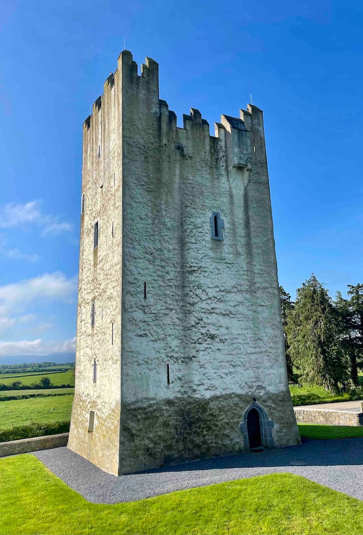 Kilfadda Castle (in ruins)Castle, Anglo-Norman masonry castle · 1.5 mi
 Borris WoodWood · 2.5 mi
 Slevoir BayBay · 4.1 mi
 Lumcloon WoodWood · 5.1 mi
 Hayes IslandIsland · 5.2 mi
 Roger's IslandIslet · 5.3 mi
 Portumna Castlegate lodge · 6.1 mi