What is recorded here
In pasture, on a very gentle S-facing slope. Monument identified on aerial photograph (GSI S. 618/617, 16-4-1974). Moated sites (TS063-030001- and TS063-030002-) are c. 96m to W and c. 125m to SW respectively. A sub-rectangular area (dims. 33m E-W; 32m N-S) defined by the remains of a levelled bank (Wth at top 10m; overall Wth 16.5m; int. H 0.3m; ext. H 0.15m) to S (L 22m), W (L 32m) and partially traceable to E, although disturbed. A hedgerow field boundary defines the N side of the monument to N side and there is a fosse-like drain (basal Wth 2m; overall Wth 6.5m; D 0.2m) at the W. The interior has an uneven surface and a driving line crosses in different places. The monument is incorporated into the field as pasture.
Compiled by: Jean Farrelly
Date of revised upload: 2 October 2014
The monument record does not grant public access. Check the route and ask the landowner before entering private land.
- What survives
- Recorded monument
Places near here
 Enclosure in Jamestown (modeshil Par.)Enclosure · 829 yd
 Enclosure in KyleaglannaEnclosure · 851 yd
 Saint Michael's Catholic Churchchurch/chapel · 1598 yd
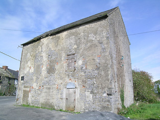 mill (water)mill (water) · 1.0 mi
 St. Johns Monastery (in ruins)Castle, hall-house · 1.0 mi
 Modeshil Castle (in ruins)Castle · 1.3 mi
 Fenane WoodForest · 1.3 mi
 Pedunculate OakPedunculate Oak · 3.0 mi
 Knockuragh HillMountain / peak · 3.4 mi
 KillameryVisitor information · 3.7 mi
 Killamery High CrossVisitor information · 3.7 mi
 The SpoutMemorial · 3.9 mi