What is recorded here
Within an extensive open-cast quarry complex. Shown as a roughly rectangular area (dims. c. 42-49m N-S; c. 43m E-W) on the 1906 edition of the OS 6-inch map. Not visible at ground level.
Compiled by: Jean Farrelly
Date of revised upload: 5 October 2015
The monument record does not grant public access. Check the route and ask the landowner before entering private land.
- What survives
- Recorded monument
Places near here
 Enclosure in Newtown (solloghodbeg Par.)Enclosure · 810 yd
 Enclosure in Kyle (solloghodbeg Par.),newtown (solloghodbeg Par.)Enclosure · 957 yd
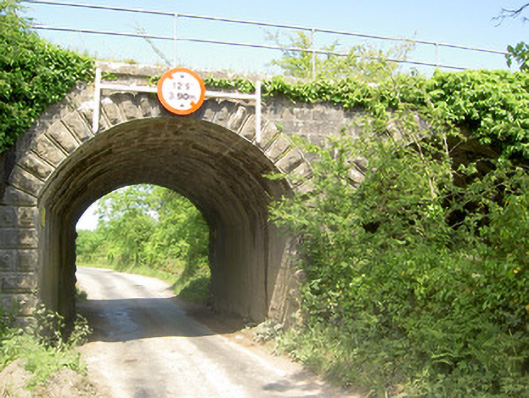 bridgebridge · 1300 yd
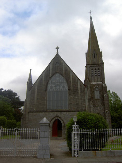 Saint Nicholas's Catholic Churchchurch/chapel · 1.0 mi
 Soloheadbeg Ambush SiteMemorial · 1.2 mi
 Soloheadbeg Ambushambush · 1.2 mi
 CastleCastle, ringwork · 1.5 mi
 IndicatedCastle, unclassified · 2.2 mi
 Oola HillMountain / peak · 2.7 mi
 The Maid of ErinMemorial · 3.3 mi
 European ashEuropean ash · 4.4 mi
 KnockseefinMountain / peak · 7.9 mi