What is recorded here
In improved pasture, on a SSW-facing slope. A rectangular area (dims. 46m NE-SW; 42m NW-SE) defined by the remains of a levelled bank (Wth at top 2m; overall Wth 9m; int. H 0.45m; ext. H 0.2m) best preserved at the NW end of the SW side (total L 44m) and along the NE side (L 44m). The levelled bank along the NW side (L 46m) is traceable. The remainder of the SW side and all of the SE side is levelled out, the latter (L 42m) over a broad area (Wth c. 8-10m). The SE and SW sides are depicted on the 2nd (1906) ed. OS 6-inch map as linear field boundaries. The interior slopes to the SSW and the monument is incorporated into the field as pasture.
Compiled by: Jean Farrelly
Date of upload: 26 August 2011
The monument record does not grant public access. Check the route and ask the landowner before entering private land.
- What survives
- Recorded monument
Places near here
 Site of ChurchChurch · 751 yd
 Knockuragh HillMountain / peak · 981 yd
 (Site of) Drangan CastleCastle, unclassified · 1718 yd
 Dangan Church (in ruins)Church · 1.1 mi
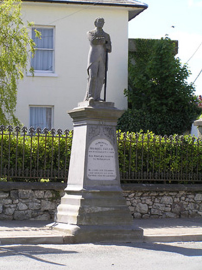 Michael Cusack Monumentmonument · 1.1 mi
 Enclosure in Knockroe (drangan Par.)Enclosure · 1.2 mi
 Bawn in LismalinBawn · 1.7 mi
 Fenane WoodForest · 2.1 mi
 Eagle HillMountain / peak · 2.8 mi
 Silver FirSilver Fir · 3.6 mi
 Slieveardagh Heritage CentreVisitor information · 5.1 mi
 The SpoutMemorial · 5.8 mi