What is recorded here
In pasture, near base of a N-facing slope, in SW corner of field. Slight visible surface trace of rectangular area (Dims. 58m N-S; 68m E-W) defined by levelled scarp to W, N and E. Remains of modified bank (Wth 7.65; int. H 0.85m; ext. H 0.85m) and external fosse (Wth 6.45m; D 0.85m) to S. Earthen material has been pushed up against interior of S bank. Interior is N-facing and clear of vegetation. Field boundary flanks exterior of monument to S and W. Depicted on 1905 OS 6-inch map as rectangular area (dims. c. 78m N-S; c. 85m E-W) enclosed by a scarp on all sides with short portion of bank at NW and enclosed entirely by a field boundary. Enclosure (TS068-106----) c. 140m to N.
Compiled by: Jean Farrelly
Date of upload: 26 August 2011
The monument record does not grant public access. Check the route and ask the landowner before entering private land.
- What survives
- Recorded monument
Places near here
 LisheenEnclosure · 230 yd
 Enclosure in KnockgraffonEnclosure · 741 yd
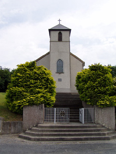 Saint Bartholomew's Catholic Churchchurch/chapel · 1559 yd
 Hymenstown Househouse · 1.1 mi
 Knockgraffon CastleCastle · 1.1 mi
 Bawn in GarranleaBawn · 1.3 mi
 Caucasian zelkovaCaucasian zelkova · 3.2 mi
 Caher AbbeyHeritage attraction · 3.7 mi
 Cappa WoodWood · 3.9 mi
 Siege of Cahir Castlesiege · 3.9 miCahir CastleHeritage attraction · 4.0 mi
 Slieveanard NE TopMountain / peak · 4.1 mi