What is recorded here
In level pasture, on the S bank of the Owenmore River. Immediately to S is undulating rising ground, much of which has been dug away by extensive quarrying c. 50m to S. A level square area (28.5m N-S; 29.5m E-W) enclosed by a fosse (Wth 3m; D 0.5m) on the E, S and W sides. On the E side a NW-SE field boundary truncates the fosse. A natural scarp (H 0.6m), 2.5m S of the riverbank, defines the N side. A slight rise on the inner edge of the fosse at the S end of the W side may be the remnant of a bank. There is a causeway (Wth 2.5m) across the fosse on the S side, E of centre, marked by a dense growth of irises, clumps of which also occur in the interior. Another moated site (SL026-021002-) lies 20m to E and a possible rectangular enclosure (SL026-021003-) lies c. 100m to E.
The above description is derived from the published 'Archaeological Inventory of County Sligo' compiled by Ursula Egan, Elizabeth Byrne, Mary Sleeman with Sheila Ronan and Connie Murphy (Dublin Stationery Office, 2005).
Date of upload: 18 January 2008
The monument record does not grant public access. Check the route and ask the landowner before entering private land.
- What survives
- Recorded monument
Places near here
 Enclosure in Knockbeg WestEnclosure · 183 yd
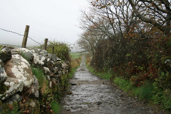 Indicated (1838).Enclosure · 532 yd
 Church (in Ruins)Church · 750 yd
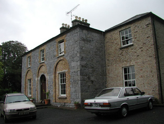 Glebe Houserectory/glebe/vicarage/curate's house · 1500 yd
 BunreecoillMountain / peak · 1.1 mi
 Castle (Site of)Castle, unclassified · 1.1 mi
 Teeling MonumentMemorial · 1.3 mi
 Battle of Collooneybattle · 1.3 mi
 SlievewardMountain / peak · 1.4 mi
 European ashEuropean ash · 1.8 mi
 Moymlough Castle (in Ruins)Castle, tower house · 2.0 mi
 Union RockForest · 2.3 mi