What is recorded here
The following description is derived from the published 'Archaeological Inventory of County Carlow' (Dublin: Stationery Office, 1993). In certain instances the entries have been revised and updated in the light of recent research.
Date of upload/revision: 17 July 2007
Shown on 1839 and 1908 'OS 6-inch' maps as rectangular area enclosed by bank (max. dims. c. 45m N-S, 60m E-W). Removed prior to 1973 (Barry 1977, 184).
The monument record does not grant public access. Check the route and ask the landowner before entering private land.
- What survives
- Recorded monument
Places near here
 Enclosure in Raheen (rathvilly By., Clonmore Ed)Enclosure · 555 yd
 Knockallow RathFairy fort / earthen ringfort · 988 yd
 Church (in ruins), GraveyardChurch · 1.2 mi
 Saint Mary's Catholic Churchchurch/chapel · 1.4 mi
 Site of CastleCastle, unclassified · 1.5 mi
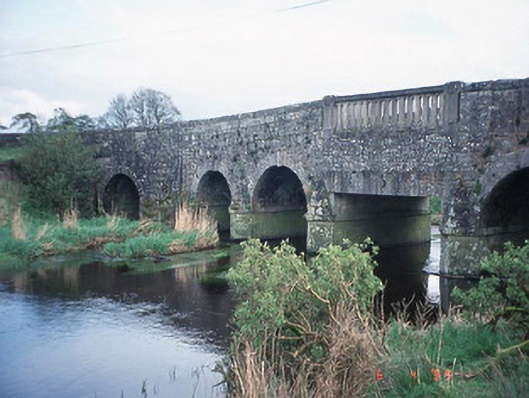 Acaun Bridgebridge · 1.6 mi
 Acaun Church (in ruins), GraveyardChurch · 1.7 mi
 CastleCastle, unclassified · 1.8 mi
 Rath WoodForest · 3.2 mi
 Eagle HillMountain / peak · 3.4 mi
 European ashEuropean ash · 4.1 mi
 Ballynultagh HillMountain / peak · 5.6 mi