What is recorded here
Overgrown with trees and scrub, in rough pasture though surrounding field has been reclaimed, c. 220m N of the river Sruhnasilloge. It is described by Barry (1977, 190) as a, 'Platform raised c. 1m above field level. Int. bank 2m wide and 50cm high. Heaped corners. Wet moat 2.4m wide and 1.70m deep'. Another moated site (KK029-023----) is located c. 400m to the N. A field boundary runs NW-SE along the W side and another, now levelled, ran roughly E from the NE angle.
Compiled by: Jean Farrelly
Date of upload: 8 March 2022
The monument record does not grant public access. Check the route and ask the landowner before entering private land.
- What survives
- Recorded monument
Places near here
 St. Kierans WellHoly well · 188 yd
 St. Kieranss WellHoly well · 390 yd
 Site of Kilkieran CastleCastle, unclassified · 642 yd
 Site of Brittas CastleCastle, unclassified · 756 yd
 Fiddaun Bridgebridge · 1008 yd
 Saddle HillMountain / peak · 1575 yd
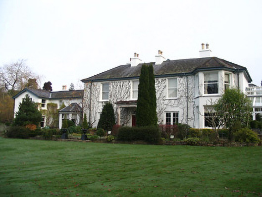 Rockviewhouse · 1.1 mi
 James FrenyMemorial · 1.7 mi
 Graveyard in InistiogeGraveyard · 1.7 mi
 St. Mary's ChurchVisitor information · 1.7 mi
 InistiogeVisitor information · 1.7 mi
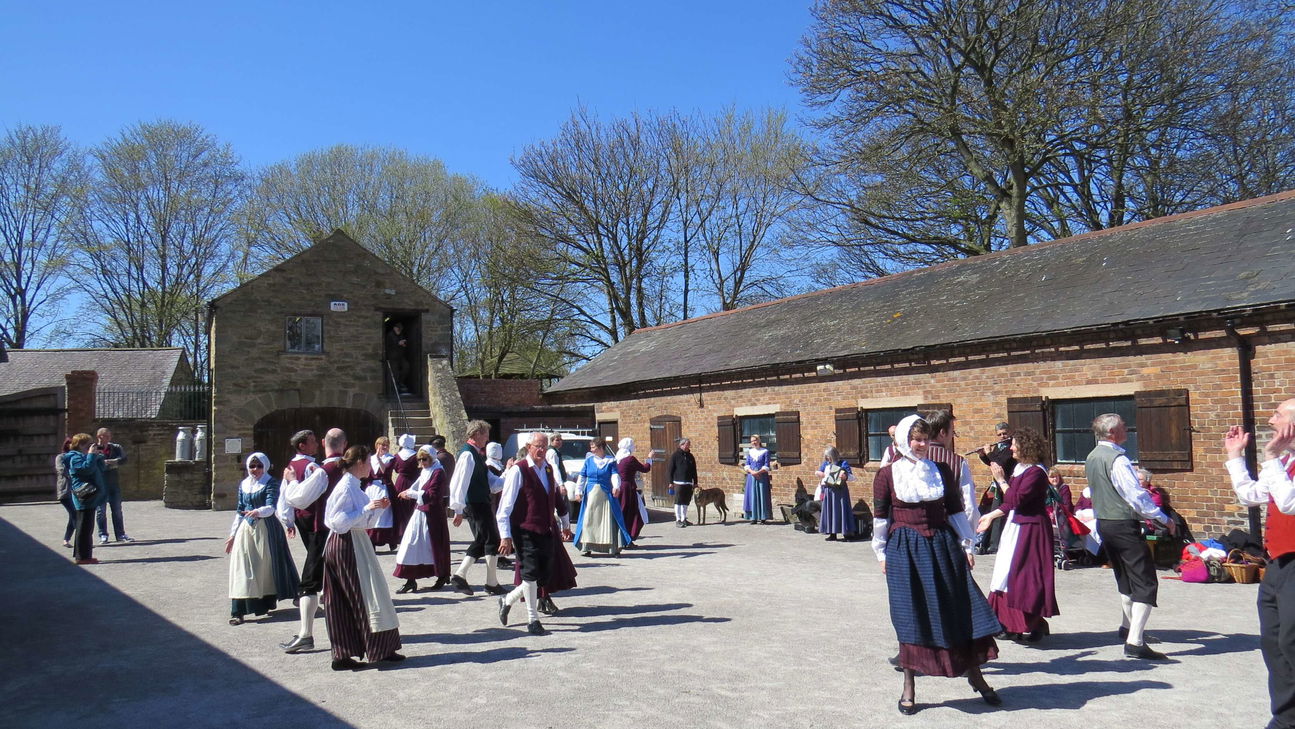 Woodstock Heritage MuseumMuseum · 1.7 mi