What is recorded here
On a SE-facing slope, in pasture. Indicated as a rectangular enclosure (dims. c. 32m NE-SW; c. 20m NW-SE) on the 1st (1839) ed. OS 6-inch map with a field boundary running NW-SE along the NE perimeter. It is similarly depicted on the 1900-01 revision of this map, though the S and W angles are shown as curved. Barry (1977, 190) describes this as a moated site, 'Centrally positioned on south-east facing slope. Very eroded site. No banks'.
Compiled by: Jean Farrelly
Date of upload: 8 March 2022
The monument record does not grant public access. Check the route and ask the landowner before entering private land.
- What survives
- Recorded monument
Places near here
 Site of Kilkieran CastleCastle, unclassified · 275 yd
 St. Kierans WellHoly well · 281 yd
 St. Kieranss WellHoly well · 825 yd
 Fiddaun Bridgebridge · 1030 yd
 Saddle HillMountain / peak · 1127 yd
 Site of Brittas CastleCastle, unclassified · 1163 yd
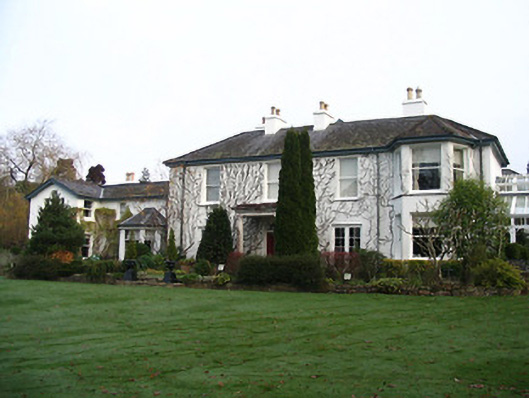 Rockviewhouse · 1.3 mi
 James FrenyMemorial · 1.9 mi
 Graveyard in InistiogeGraveyard · 1.9 mi
 St. Mary's ChurchVisitor information · 1.9 mi
 InistiogeVisitor information · 1.9 mi
 Woodstock Heritage MuseumMuseum · 2.0 mi