What is recorded here
On a S-facing slope just off crest of a flat-topped hill in valley at base of S slopes of Slievenamon mountain, in pasture. Ringfort (TS078-035----) lies c. 100m to NW. Moated site identified on an aerial photograph (GSI June 1973 S.508/9) as a rectangular enclosure. Not visible at ground level.
Compiled by: Jean Farrelly
Date of upload: 26 August 2011
The monument record does not grant public access. Check the route and ask the landowner before entering private land.
- What survives
- Recorded monument
Places near here
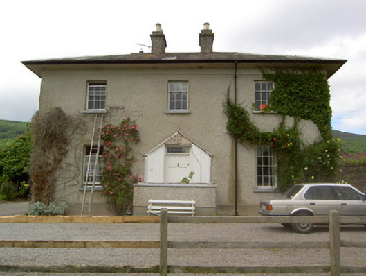 Ballyknockane Housecountry house · 703 yd
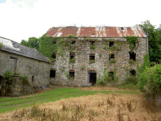 mill (water)mill (water) · 877 yd
 CrossCross, Tau cross · 1680 yd
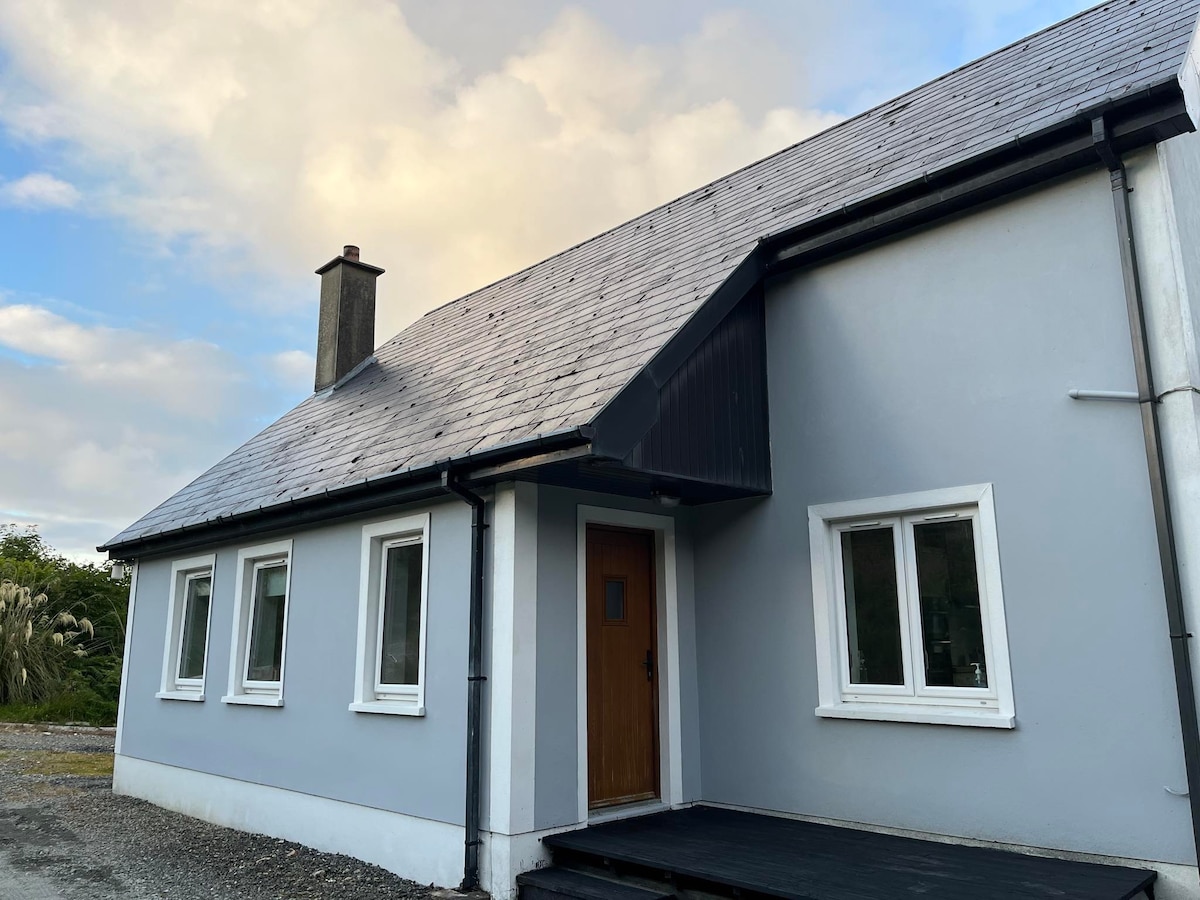 Enclosure in BallyboeEnclosure · 1.1 mi
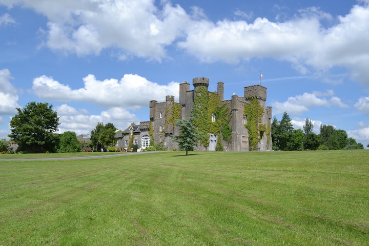 Ballyglasheen CastleCastle · 1.4 mi
 Ballyboe FortCastle, motte and bailey · 1.7 mi
 SlievenamonMountain / peak · 2.3 mi
 Carrigaloe RockNamed rock · 2.4 mi
 Garden of RenewalNature reserve · 2.4 mi
 Large-leaved LimeLarge-leaved Lime · 2.5 mi
 CarrickbrockMountain / peak · 2.8 mi
 Maurice DavinMemorial · 3.8 mi